Daily insights for city builders, delivered every morning at 6 AM ET. I’m Brandon Donnelly — a Toronto-based real estate developer and founder of Globizen. I’ve been writing here since 2013.
Our week in Nice has ended. We took an early morning flight out today, connected in DC, and arrived back in Toronto in the evening.
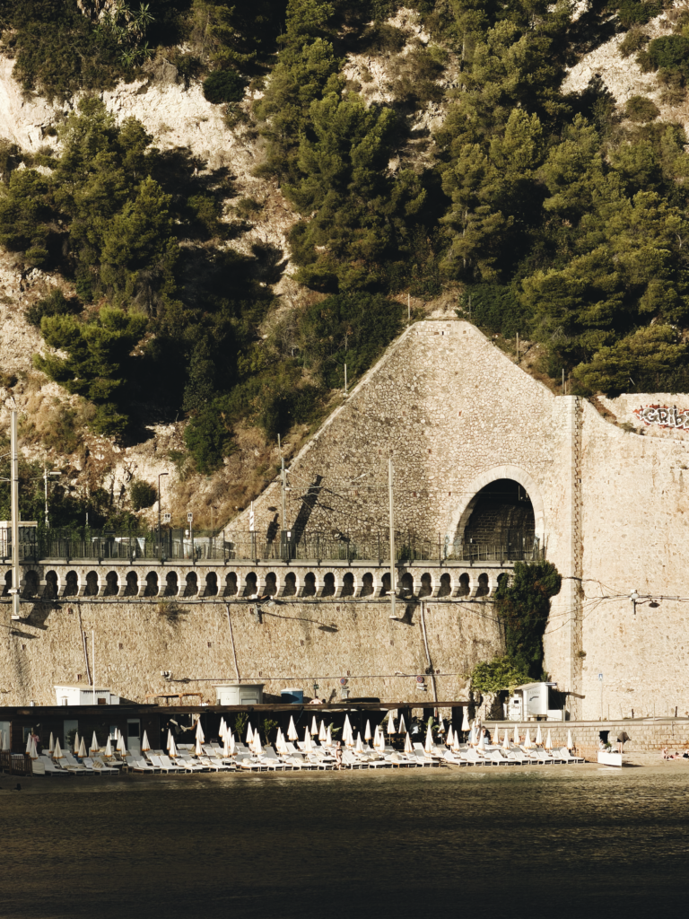
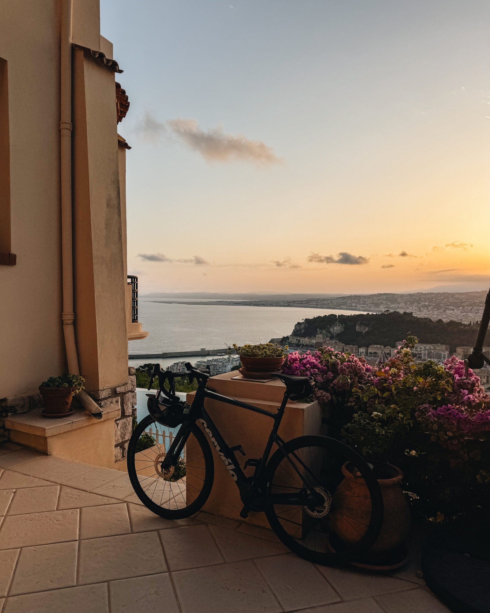
I love Nice. It’s urban, but it also has great beaches and rocky swimming coves. It shares some of the exact qualities I love about Rio de Janeiro, albeit on a smaller scale.
It also has a robust road biking culture. And I aspire to one day be able to keep up with the pros on those mountain climbs. Until then, look for me in the bike lanes of Toronto.
Regularly scheduled programming resumes tomorrow on the blog.
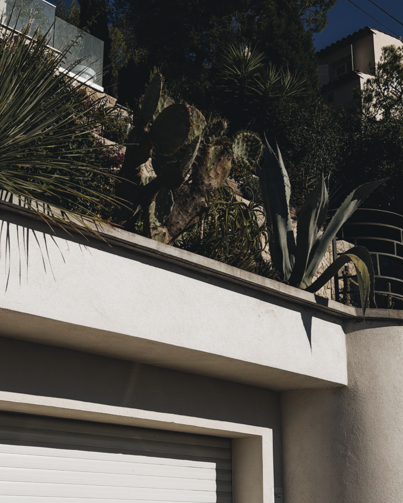
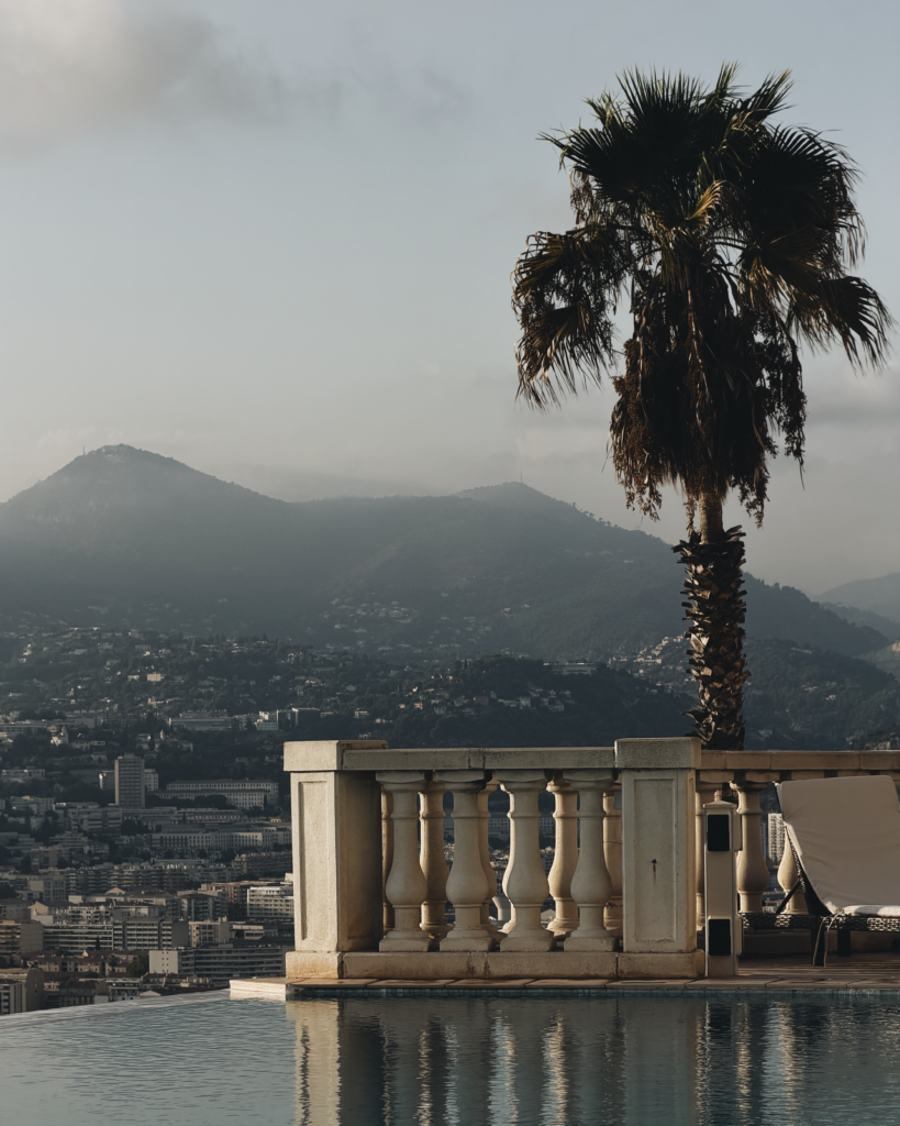
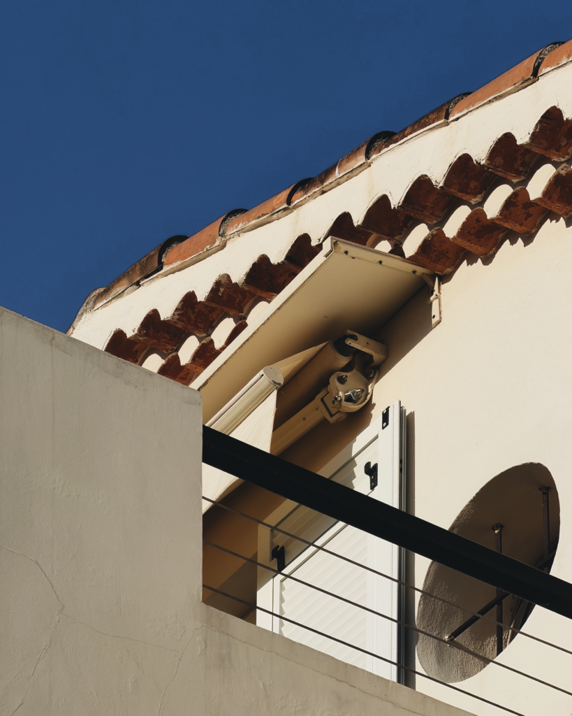
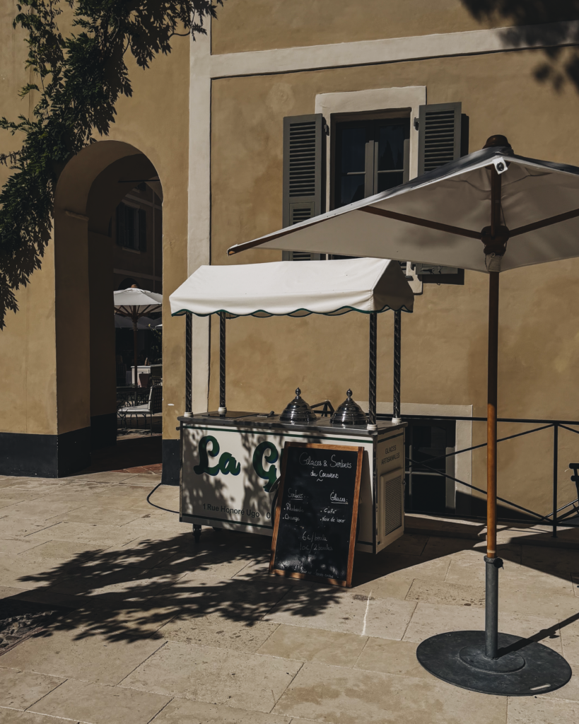
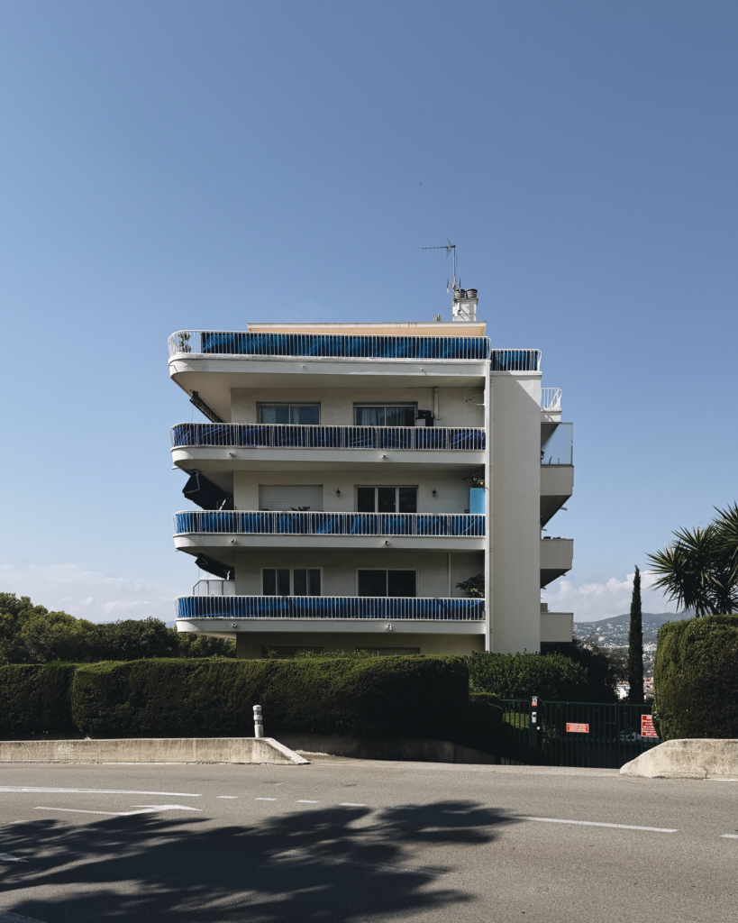
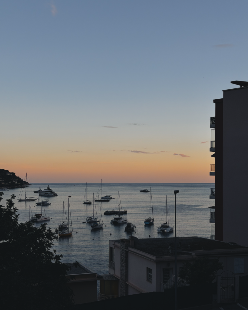
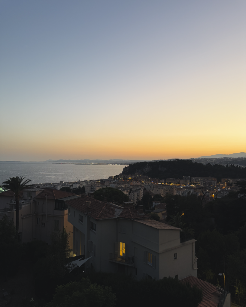
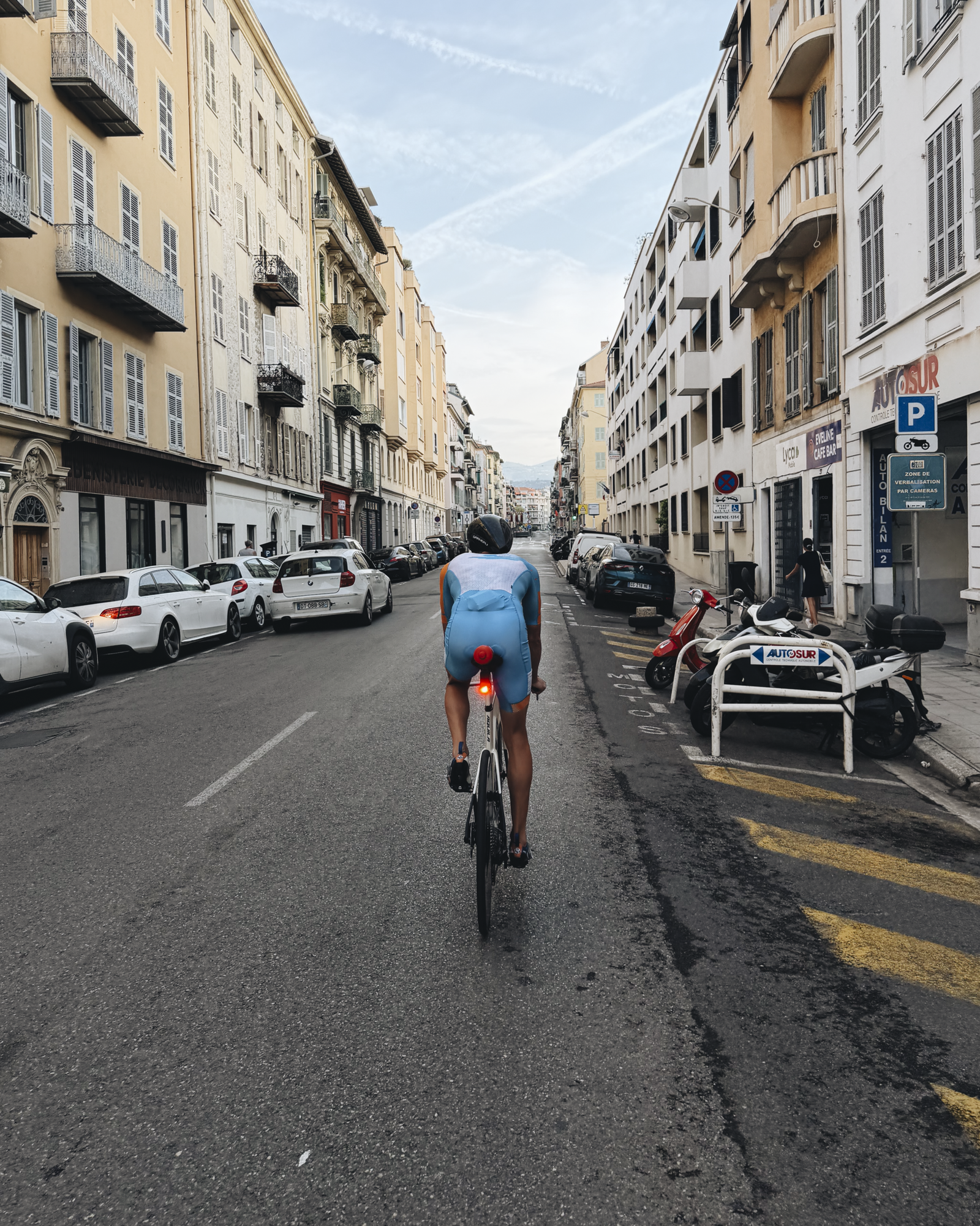
I have my Fujifilm camera with me on this trip, but it’s been a bit much to carry it around throughout the day with Vivienne and all of her various belongings. So these photos are all shot on iPhone. Sometimes I remember to shoot in RAW (for better post-production), but most of the time these are just quick snaps with the default settings. In my opinion, the photos don’t have the same colour depth and overall richness as the ones I get from my Fujifilm.
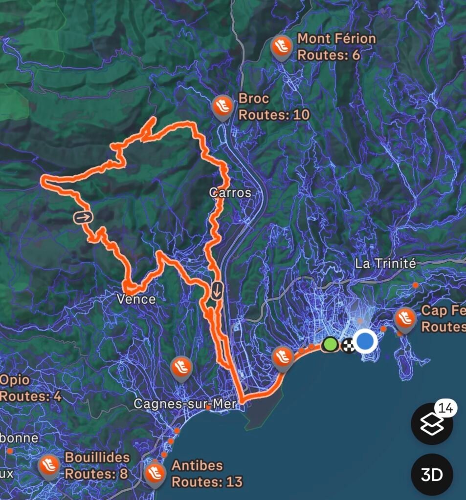
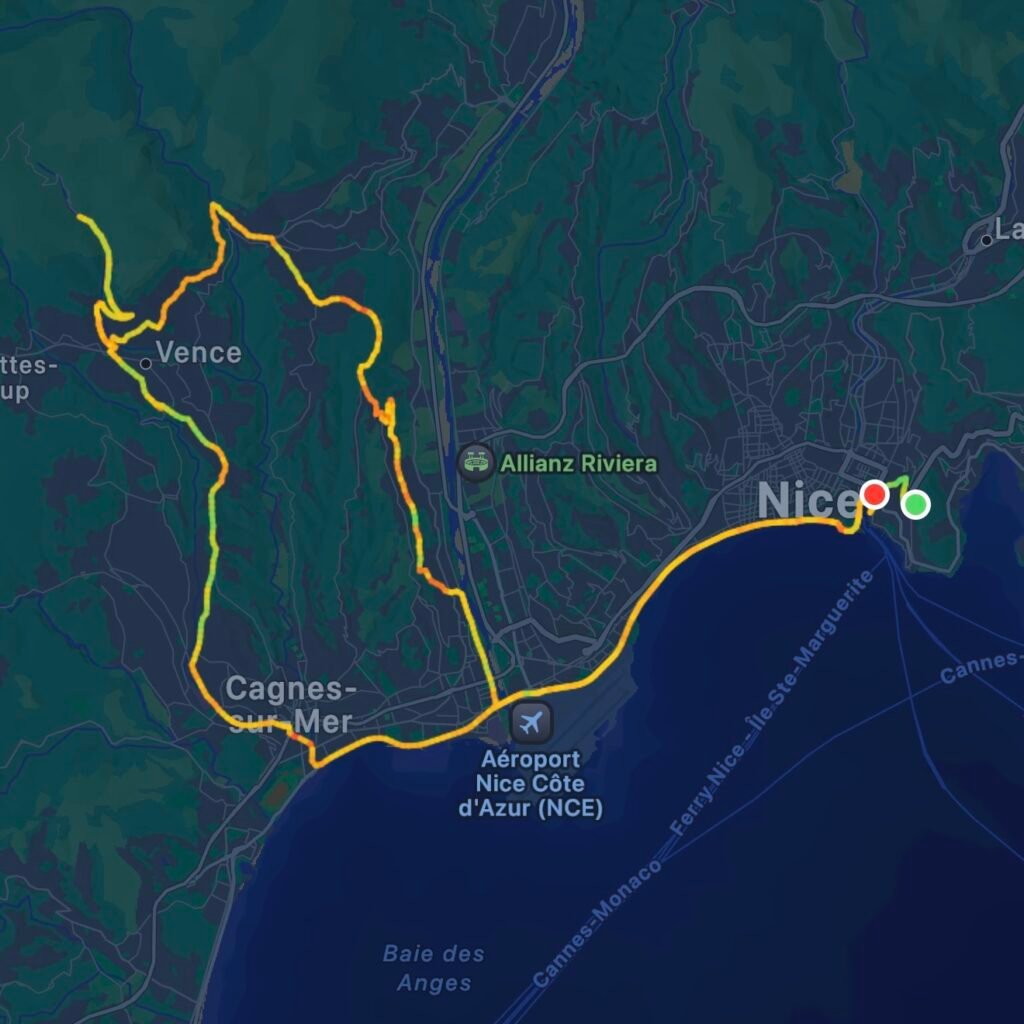
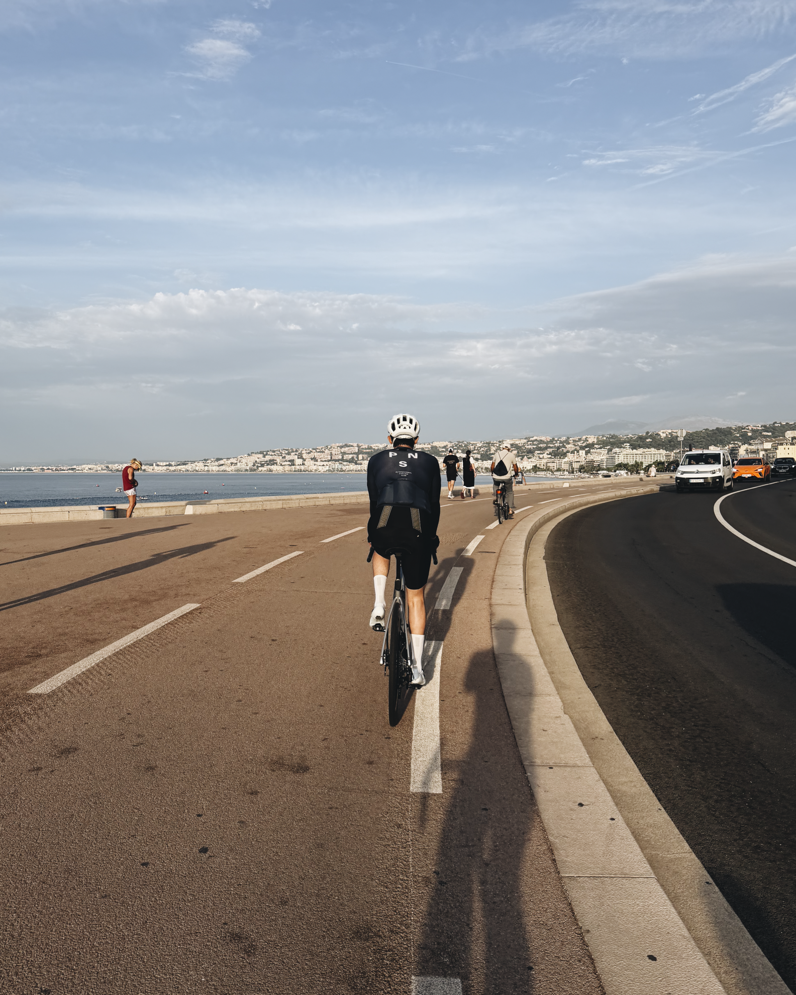
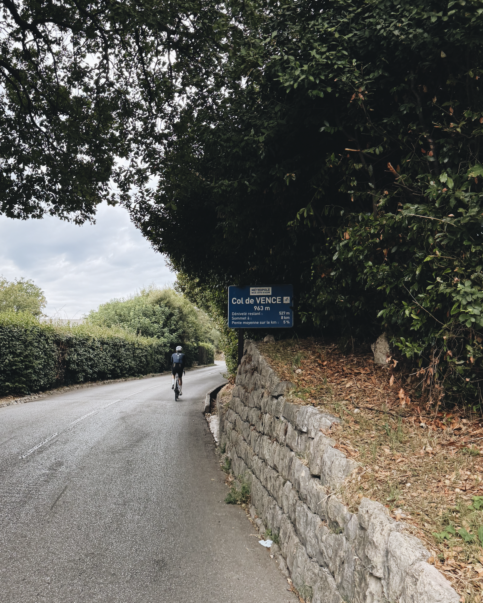
So, it turns out that if you want to do the 92-kilometre Ironman World Championship bike course in Nice, it’s a good idea to practice a little beforehand. At the very least, you probably want to get on your bike more than a handful of times. I tried it today and came up short.
The circuit includes le col de Vence at its summit, which is a 9.7-kilometre stretch with a 963-metre peak elevation and an average pitch of 6.6%. I was within 6 kilometres of the top, but my quads completely seized up and I turned back towards Vence, then continued south back to the water.
I really wanted to get there and reward myself with a sugary crêpe, but my legs were saying otherwise. I’ll be back, col de Vence.
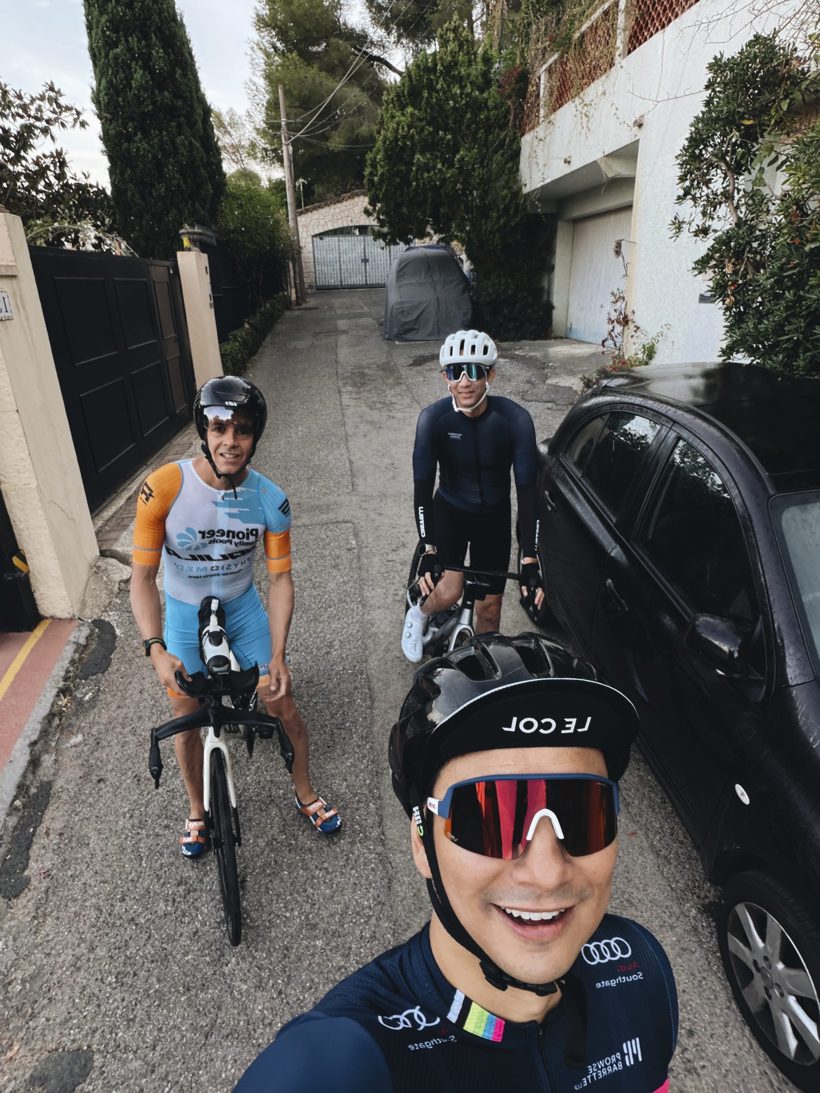
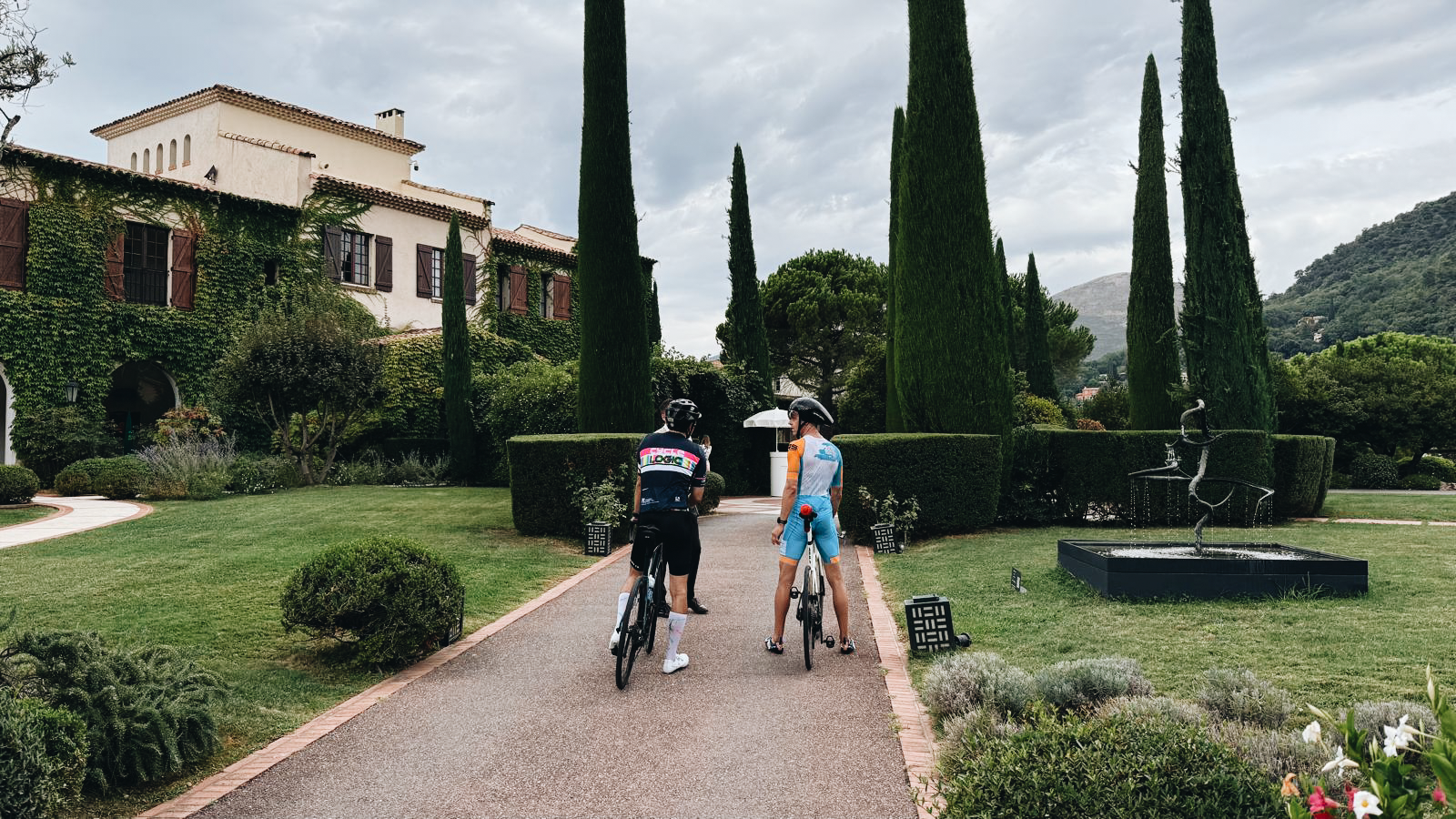
Shoutout to Guinness World Record holder Austin Kjorven, who will be representing Canada at the Ironman this weekend and has no problem climbing le col de Vence. He was also super patient as I attempted the climb. Follow him here.
Sometimes there’s an elevator down to the metro, but more often than not there isn’t.
Sometimes there’s AC, but oftentimes there isn’t.
Sometimes Vivienne is peacefully sleeping in her stroller or carrier, but sometimes she’s having a diaper blowout meltdown and screaming loud enough that passersby start giving concerned looks.
Traveling can be positively inconvenient at times. We’ve never traveled with so much paraphernalia before. We’ve never had to keep breast milk chilled on ice and think about bottle expiries while navigating busy metro trains with no room for our stroller.
But in my mind it’s like exercising. It’s work, especially with kids, but it changes you for the better. We also want Vivienne to grow up to be adaptable, resilient and patient in the face of hot, urine-soaked transit elevators and the like.
As Anthony Bourdain once said:
“Travel isn’t always pretty. It isn’t always comfortable. Sometimes it hurts, it even breaks your heart. But that’s okay. The journey changes you; it should change you. It leaves marks on your memory, on your consciousness, on your heart, and on your body. You take something with you. Hopefully, you leave something good behind.”
We finished our week in Paris, walking and taking transit everywhere. We didn’t step into a car once. We averaged just over 10k steps a day, which is significantly lower than what we would have done sans baby, but it’s still respectable.
Seeing the data on my watch and my surging step count reminded me how sedentary my life has gotten over the last two years while working from home (at least from a steps per day perspective).
It’s unacceptable and I need to make some life changes when I get back to Toronto. But for right now, it’s time to head south.
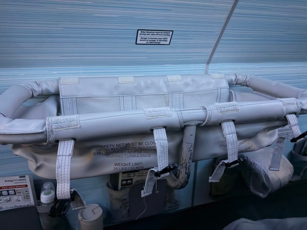
We arrived in Paris this morning and Vivienne’s first flight was a 10/10. She slept most of the way in our arms. The bassinet looked like some sort of elaborate torture device (see below), but she did also sleep in it for a bit. The problem is that they make you take her out whenever the seat belt sign is on, and so we ended up just keeping her in our arms to make sure she stayed asleep. So she slept well; we did not. Thankfully, Toronto to Paris is a super easy flight. It was around 6 hours today.
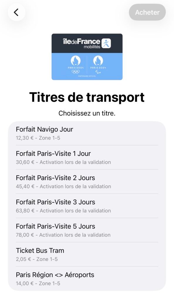
When we arrived at CDG, we stopped at Monop’ for some juices and a snack, and then went straight to the RER B train. Tip: Never fuss with the ticket kiosks. Open Apple Wallet. Add the Île-de-France travel card to it, and then choose the airport pass for €14. The express train took about 30 minutes to get to Gare du Nord. We then did one transfer and one stop on the RER E line, paused in the station to feed Vivienne and admire its vaulted ceilings, and then walked to our hotel. I think we were under an hour inclusive of the meal break.
I’ve said this many times before, but I very much enjoy the feeling of getting off a plane and not having to drive. In terms of our experience with a travel stroller, none of the trains we took had level boarding, so I would just grab the front of the stroller and we’d lift. But every station we were in had elevators. Not all of them were in order, but we could always find one to use. In some cases, we just managed on the escalators.
Full disclosure: We failed at our plan of only checking one 85L bag. We ended up checking one of our 36L carry-on rollers as well. We’ve never travelled with so much stuff before. But I will say that the Patagonia 30L MLC carry-on backpack is incredible. It miraculously fits a lot of stuff and it keeps everything organized and accessible. I don’t do bag reviews on this blog, but I almost want to now.
It turns out that travelling with a 3-month-old is harder than not travelling with a 3-month-old. It requires full-on logistics management, especially in a big, dense city like Paris where we’re accustomed to only walking, biking, and taking transit. Vivienne is already giving us a different appreciation for the city and we’re excited to let her do that. One of the things she suggested is a picnic in the park. That sounds great, and a perfect way to enjoy late-summer Paris.
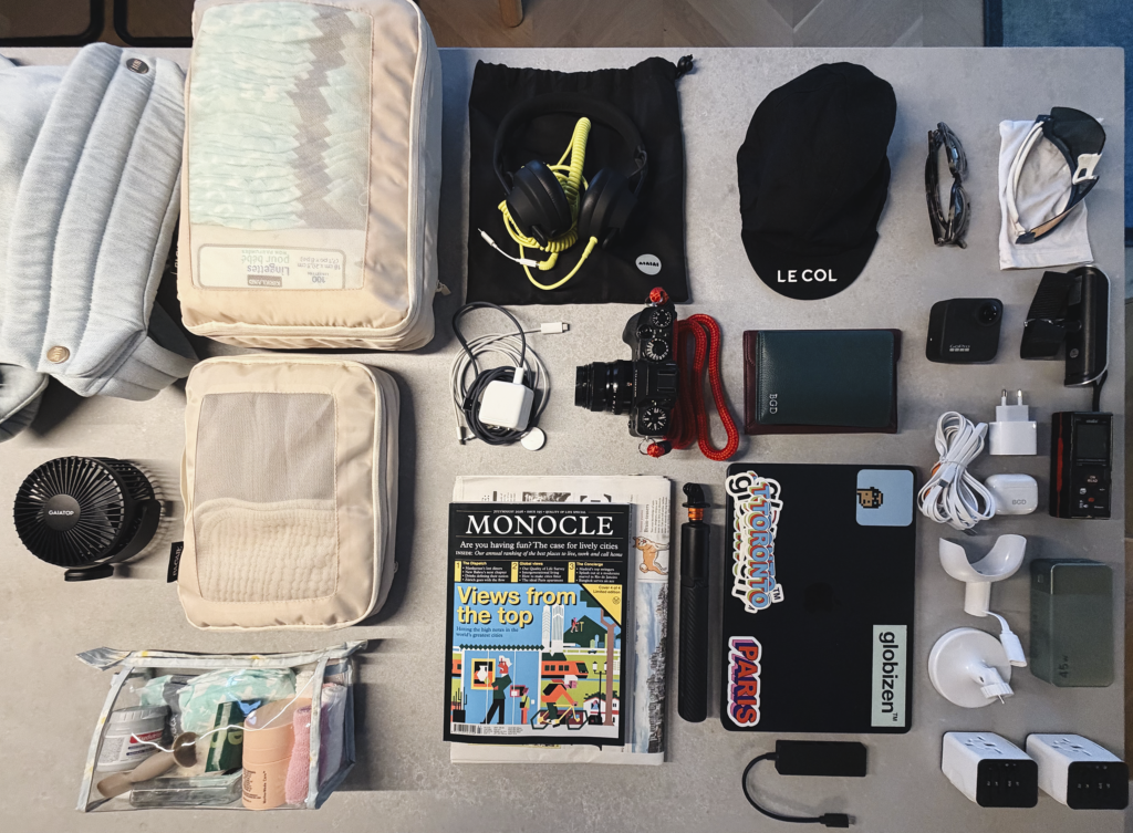
We landed on our big-picture luggage strategy for Vivienne’s first trip, and our car seat versus no car seat decision (who wants to drive?), so now let’s look at some of the smaller stuff. As a reminder, we’re going to be operating with one large 85L check-in bag, a Patagonia 30L carry-on backpack, another smaller carry-on bag, and the Ergobaby Metro 3 travel stroller. Below is a mostly comprehensive list of the other, less-obvious things we’re bringing. Most of what you see pictured will be going in my carry-on backpack.
Pictured (from left to right):
Baby carrier for urban exploring on foot
Portable fan that attaches to our travel stroller (charges via USB-C)
Diaper pack cube with 20 diapers and a fresh pack of wipes (this is going in our carry-on just in case we once again become quarantined at Brest Airport and we can’t buy diapers for 24-48 hours)
Smaller packing cube with clothes, burp cloths, and other important stuff for Vivienne
Smaller diaper bag that we’ll use for diaper changes (instead of carrying the bigger diaper pack everywhere)
AIAIAI headphones for the plane (these will get cut if we end up short on space)
Various chargers and cables
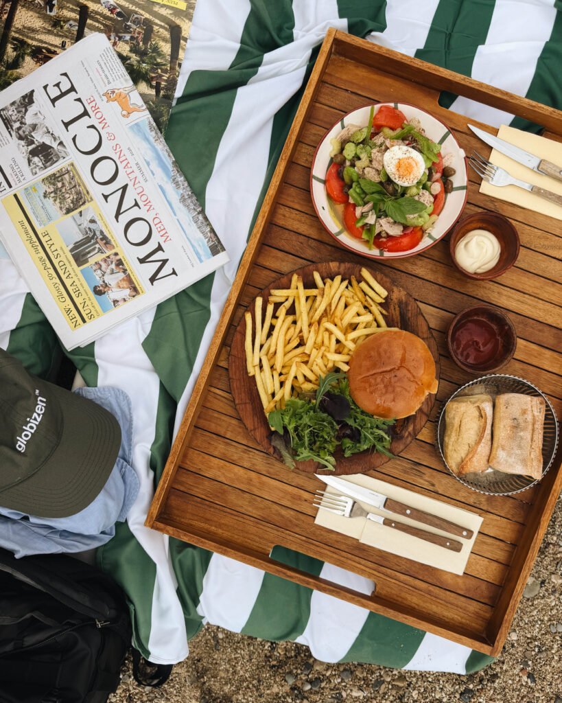
Plane and beach reading material (including Monocle’s summer newspaper, Med, Mountains & More)
Fujifilm camera (it’s been a while since I’ve taken this out)
GoPro, and selfie stick, which also doubles as another stand for our baby monitor (these are liable to be cut as well)
Cycling cap and cycling shoes not pictured here (plan is to do some road biking even though I’m the furthest thing from conditioned this summer)
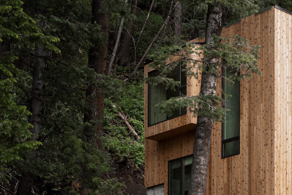
Since we first opened bookings for Parkview Mountain House, we have been using a third-party property manager. This seemed to make the most sense given our team is not local.
But since then, we have learned that, along with the fees charged by Airbnb and VRBO, it’s simply too high a fee load. We also found it difficult to offer the exact hospitality experience we were after without full management control.
So we have made the decision to terminate our management contract and transition the property to internalized management. What this will entail is taking on more management control (from Toronto) and having a local support team that we assemble and manage ourselves. This is underway and I’m personally enjoying getting further into the details of this business.
What does this mean for bookings?
Summer and fall remain open for bookings. But the winter season is now blocked off starting in early December. Expect an announcement this fall when it opens up. To stay in the loop, you can subscribe to this blog and also check off “Globizen Updates.”
Are you local to Park City and SLC?
In the meantime, if any of you live in the area and work in the hospitality, maintenance, or property management space, please drop us a line at pmh@globizen.com. We are currently assembling our local vendor team and we’d love to connect with you.
I have a good feeling that it’s going to be an incredible winter season in Utah.
I love to travel and I try my best to be efficient at it. Pre-kid, Bianca and I would leave for weeks with just two carry-on suitcases and a laundry event at some point in the middle of the trip. But now we’re planning our first trip to Paris and Nice with Vivienne (she’ll be ~3 months old) and this has forced us to rethink our entire operation.
I have spent more time than I care to admit researching travel strollers and super-light car seats and thinking about how best to navigate the places we are going. It’s an expensive world that I didn’t really need to know about.
All of this is still to be tested out in the field, but here’s where we’ve landed:
Our two carry-on suitcases have been consolidated into one larger 85L checked bag. This is about freeing up our hands as much as possible.
I’ve swapped my personal item for a Patagonia Black Hole Mini MLC Pack (30L). MLC stands for maximum legal carry-on. This is not a referral link. I just like the bag. My business partner introduced me to it.
We got an Ergobaby Metro 3 travel stroller from family that we’ll be using. It fits into overhead compartments. Unfortunately, it’s not compatible with our car seat, and so we came close to buying a second and lighter travel-only car seat (along with the requisite travel stroller adapters). This felt wasteful. We scratched the car seat. I was also not excited about lugging it around.
I think this is as minimal as we can be.
We almost exclusively take the train and walk in Paris (though I have caused chaos in their traffic circles before) and, for Nice, I found a ride-hailing app called SIXT that allows you to reserve rides in advance and add in a car seat for newborns. The main reason we debated a car seat is because where we are staying in Nice is a little out of the centre and we would have wanted to Uber. Now we’ll just test our luck with SIXT and Vivienne’s capacity for long walks on steep inclines.
It’s amazing how differently you start to think about cities and places when you’ve got a stroller to contend with and an infant with limited neck strength. If any of you have any tips, please leave a comment below.
The train from Paris to Marseille takes just over 3 hours:
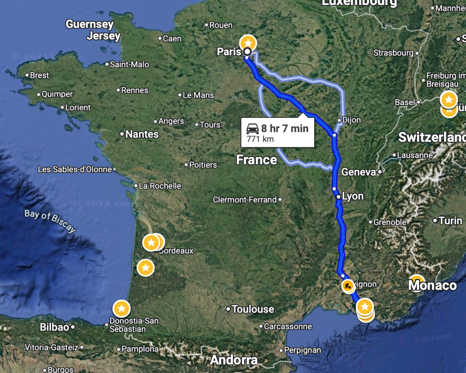
To drive this same distance, it would take just over 8 hours:
So unless you had a very specific reason, I don’t know why you’d ever want to drive this route. I certainly hate long drives and would avoid this at all costs.
On a related note, the Canadian government announced this week that it will actually be moving forward with a high-speed train linking Québec City to Toronto, stopping in Peterborough, Ottawa, Montréal, Trois-Rivières, and Laval. And unlike previous announcements, it will actually go pretty fast — upwards of 300 km/h, which is comparable to what the TGV does on the above route.
There are three consortia currently competing for this contract, but apparently the federal government has already chosen a winning bidder. An announcement is expected next month. At the same time, the project office owns all of the bids, and so there’s a chance that elements from each of them could be used in the final project.
According to official messaging, the design alone is expected to take some 4 to 5 years, which is an eternity and way too long. But at least we seem to be moving forward. This rail link is a no brainer. It will compress the geography of an importantly bilingual corridor with nearly 20 million people — about half the population of Canada! It’s our megalopolis.
Now we just need to move forward with urgency and with an unwavering commitment to creating the best high-speed rail service in the world. Let’s not accept mediocrity. And let’s not cancel it once we’ve already sunk millions into it. That would be a terrible outcome for such an obviously important nation-building project.