Daily insights for city builders, delivered every morning at 6 AM ET. I’m Brandon Donnelly — a Toronto-based real estate developer and founder of Globizen. I’ve been writing here since 2013.
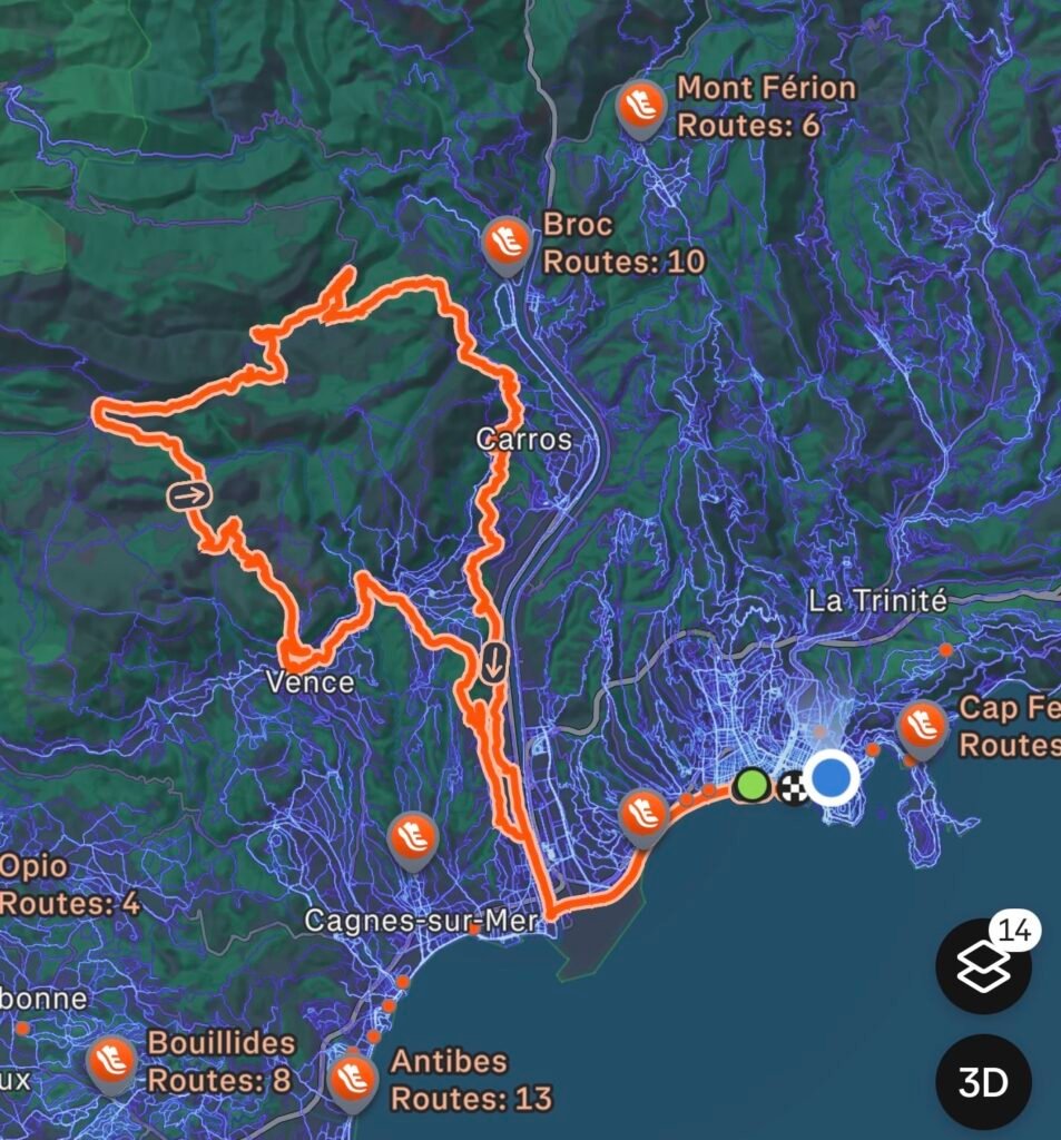
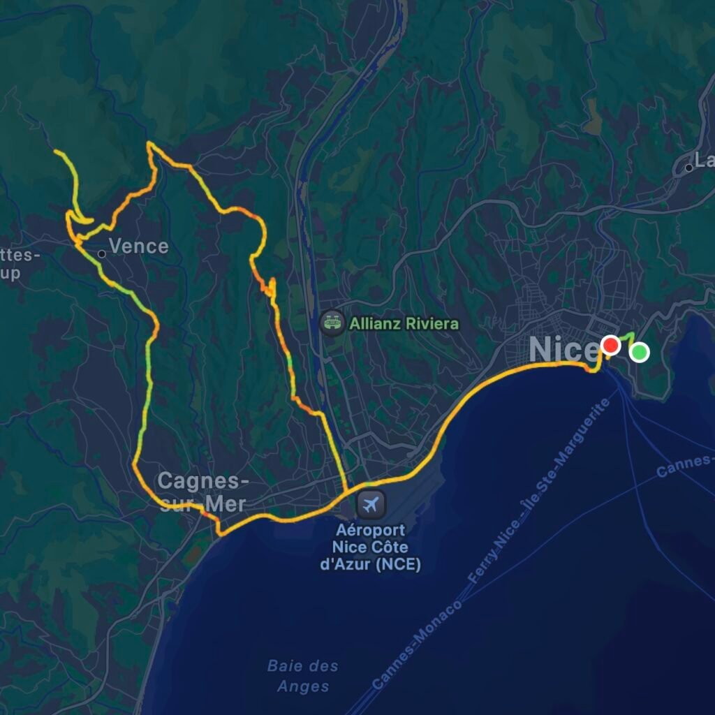
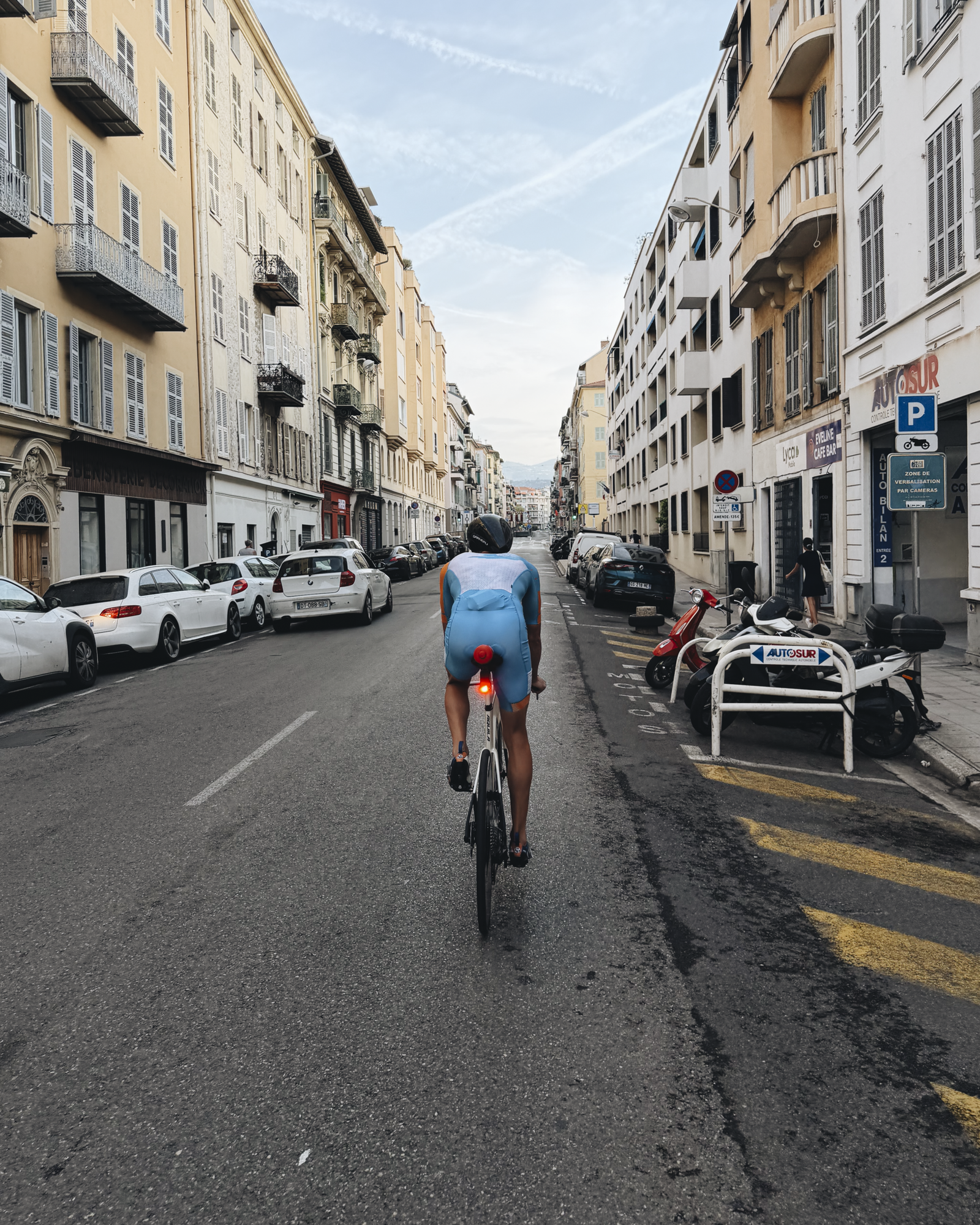
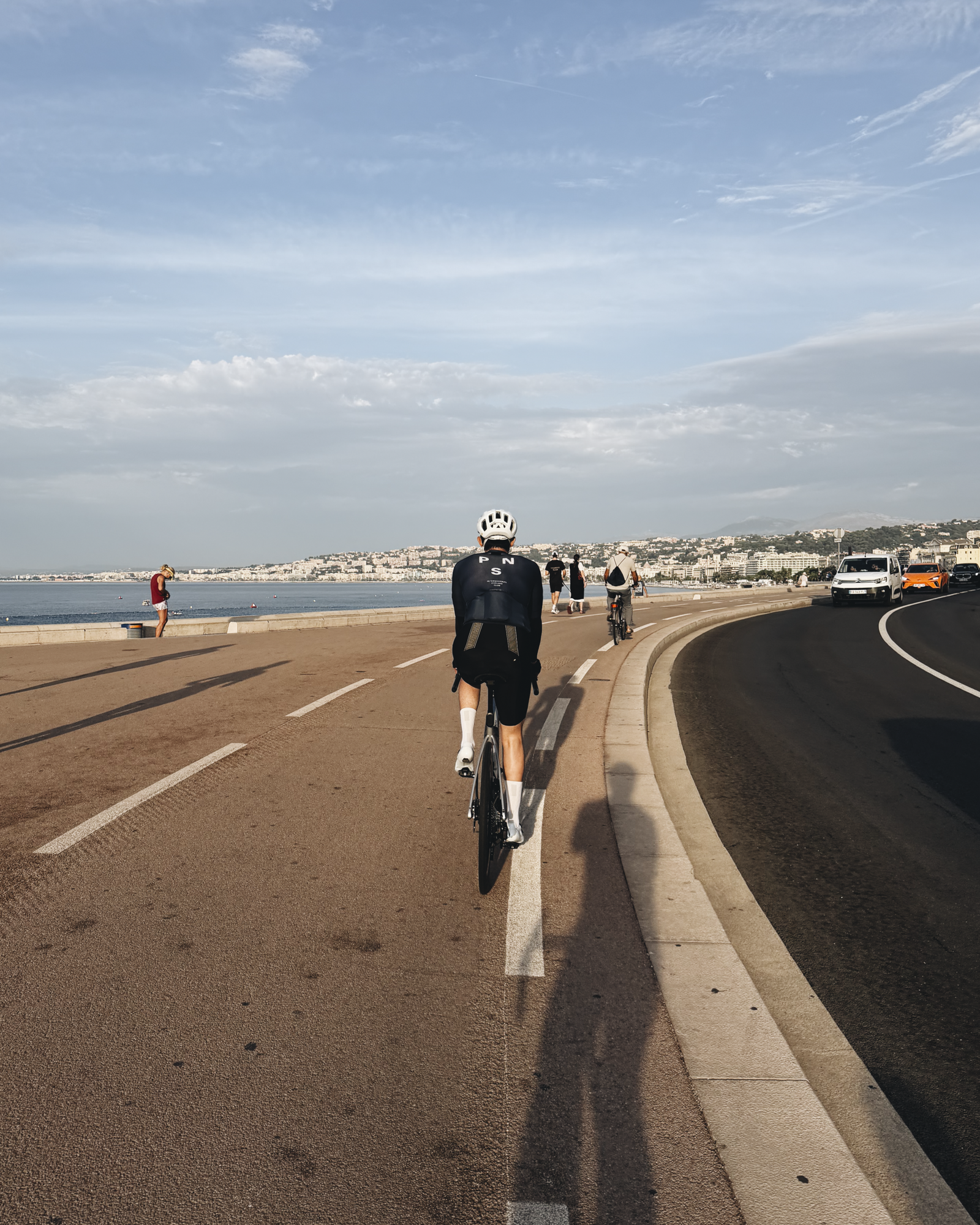
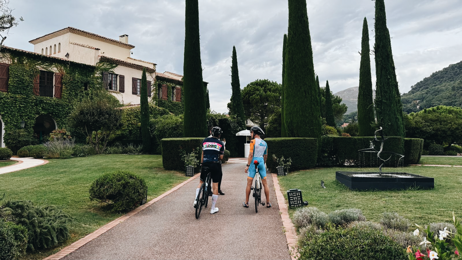
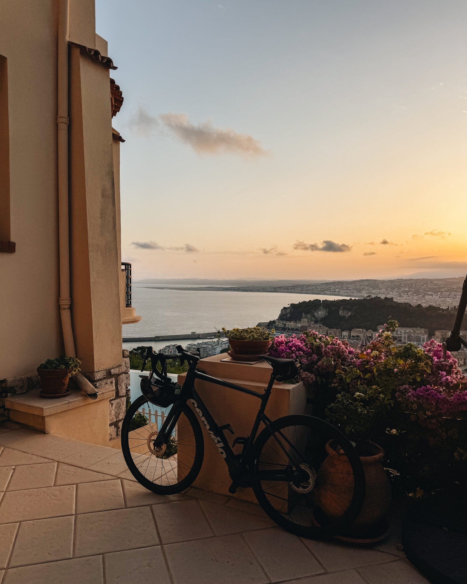
So, it turns out that if you want to do the 92-kilometre Ironman World Championship bike course in Nice, it’s a good idea to practice a little beforehand. At the very least, you probably want to get on your bike more than a handful of times. I tried it today and came up short.
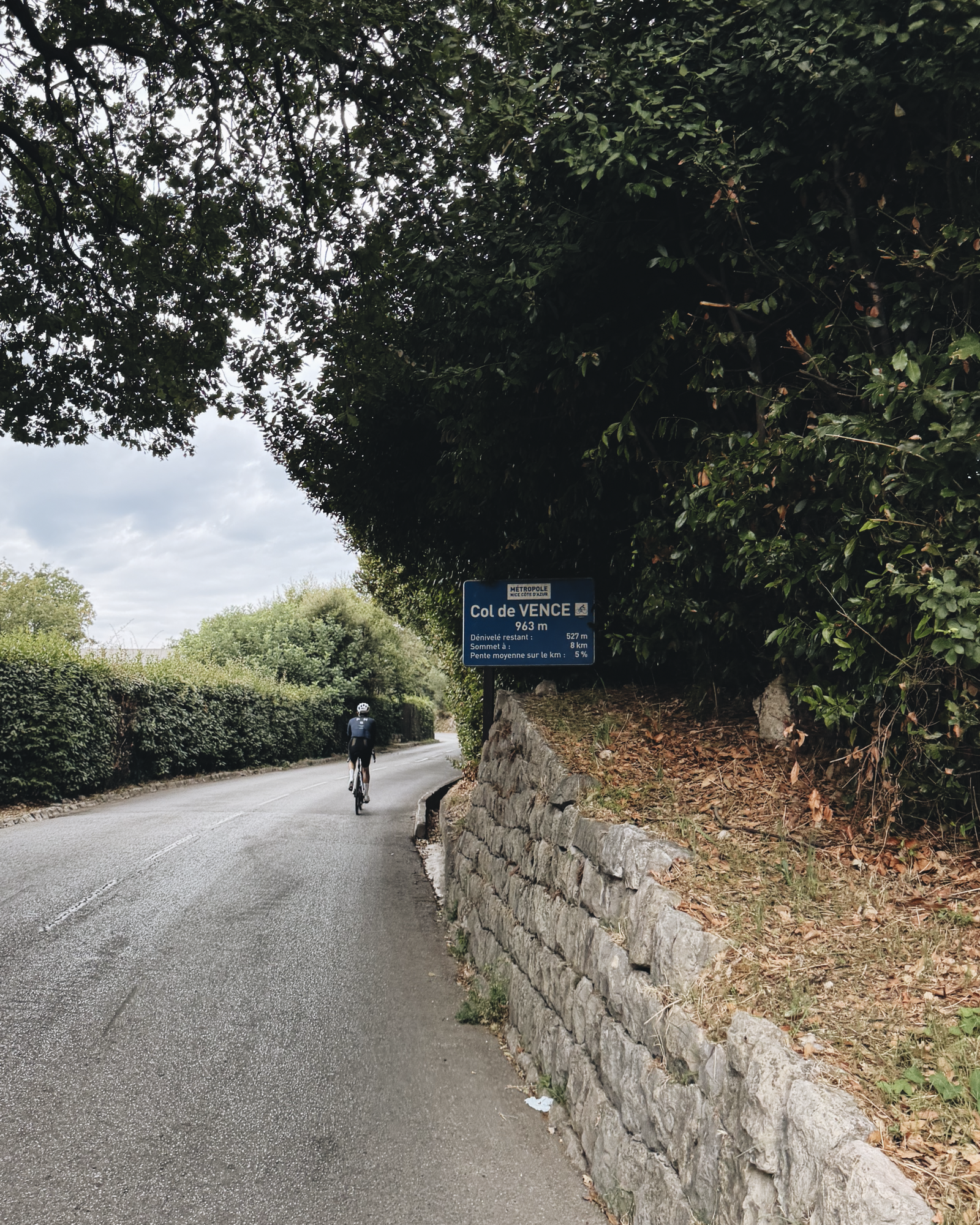
The circuit includes le col de Vence at its summit, which is a 9.7-kilometre stretch with a 963-metre peak elevation and an average pitch of 6.6%. I was within 6 kilometres of the top, but my quads completely seized up and I turned back towards Vence, then continued south back to the water.
I really wanted to get there and reward myself with a sugary crêpe, but my legs were saying otherwise. I’ll be back, col de Vence.
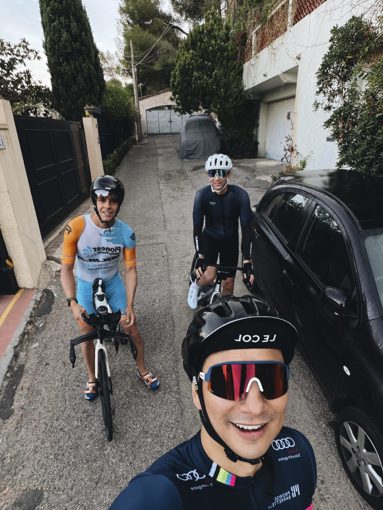
Shoutout to Guinness World Record holder Austin Kjorven, who will be representing Canada at the Ironman this weekend and has no problem climbing le col de Vence. He was also super patient as I attempted the climb. Follow him here.
Fun fact: The bike I used throughout most of undergrad at the University of Toronto was a jaunty-looking red thing that I purchased from Bikes on Wheels in Kensington Market. I used it every day. It was a workhorse.
And when I eventually moved to Philadelphia for grad school, I took it with me. Let me tell you, I probably stood out like a sore thumb riding that thing through the depths of West Philly. But then it got a flat tire and it sat in the corner of my apartment for the rest of the school year. I couldn’t tell you what happened to it after that.
This is a mostly irrelevant story except that a development application was recently filed for a site in Kensington that includes the former home of Bikes on Wheels. It’s a new six-storey boutique hotel designed by Joel Gerber Architect. The design looks great, and I like the yellow pitched-roof top hat that comes with it. It will look fun on the Kensington skyline.
But even more importantly, this is exactly the kind of infill development that Toronto needs, all over. We should be doing everything we can to reduce the barriers to building at this scale. It’s not easy, which is one of the reasons why we are not seeing a flurry of 6-storey buildings all along our avenues, even though they are technically now permissible.
So, whoever the team is behind this project, I wish them a speedy and straightforward approval.
Today I went for a bike ride on the Niagara Peninsula.
We started at Project Bench, went to the Jordan Village (where the street was having its grand re-opening), stopped in at RPM Bakehouse for an obligatory apple sticky bun (the line was out the door and we got the last one), and then did a big loop that took us along the Welland Canal and through Port Dalhousie.
Here’s the map:
It was a great ride, and it might be one of my last long rides for the season. It’s just about time to pull out the snowboard. But for now, I’m going to put tiger balm on my knees and go to bed early. See you tomorrow.
In the mid-20th century, the US made a pivotal choice that shaped its cities, economy and lifestyle. It chose highways and cars over public transit. At the time, this seemed like the future: the freedom of the open road, the allure of suburban living, and the booming post-second world war economy all converged to push America towards a car-centric culture.
The Federal-Aid Highway Act of 1956 cemented this vision, unleashing a highway system that encouraged suburban sprawl, fuelled the automotive industry and sidelined public transit. Rail systems were seen as relics of a slow, industrial-era technology ill-suited to America’s postwar aspirations. The car was king.
But this congested system is breaking. In 1950 about 30 per cent of the world’s population lived in cities. By 2030 this is expected to reach 60 per cent. Infrastructure cannot keep up with this growth. An increase in cars further reduces street capacity.
What we don’t have a clear consensus on, though, is the path forward. Is it more highways? More public transit? More bike lanes? Or will autonomous vehicles finally arrive and bail us out? The answer will depend on who you ask.
In this recent opinion piece, venture capitalist Vinod Khosla makes the case for something else: personal rapid transit systems (or PRT). Conveniently, he also happens to be an investor in one — a company called Glydways.
The promise is an on-demand mass transit system that offers the convenience of a personal car, but with the capacities and price points of public transit. And it is based on small autonomous vehicles riding in their own dedicated lanes.
To further put this into perspective, the standard width of a two-way parking drive aisle here in Toronto is 6 meters. So this would mean that each drive aisle could, in theory, have 4 lanes dedicated to these “Glydcars.” That’s how narrow they are.
This, of course, isn’t an entirely new idea. You might remember that Masdar City in Abu Dhabi claims to have opened the world’s first PRT system in 2010 — a 1.4 km line with only two stations. That said, Glydways has already been awarded three projects in the US. So for fun, I think I’ll keep an eye on them.
The divisive debate over bikes lanes in Toronto continues to remind me that we need far better urban data. People and politicians keep touting “evidence-based decisions,” but what exactly is that evidence? The high-level figure being thrown around by the anti-cycling side is that only something like 1% of residents use bike lanes. So obviously it only makes sense to focus on the 99% and not give up any space to this small minority group.
But this is highly aggregated data. It also doesn’t speak to any of the externalities associated with introducing new bike infrastructure. Looking at 2021 Census data, the number of cyclists was actually around 5% for the old City of Toronto and in some areas it was between 15-20%. However, it’s absolutely critical to note that this is only the people who selected cycling as their “primary mode of commuting” when submitting their responses to the last census.
Meaning, it excludes people who maybe only cycle 1-2 days a week, or who ride for leisure and/or for exercise, or who ride to their French class in the evenings (like me). I would also assume that these numbers have generally grown since 2021 given the overall investments that have been made in biking infrastructure. So overall, this is weak data. It’s a few years old. And it excludes many types of users. We need to get more granular.
Like, it’s great to see local business owners speaking out about the benefits that they have seen as a result of the Bloor bike lanes, but in the end, this is also anecdotal. We need real-time data, precise modal splits, the throughput of every major street, and much more. Then maybe we’ll be able to better optimize around the fact that we are a city divided by built form and by politics. That’s the thing about evidence-based decisions, they tend to get stronger with accurate evidence.
Today, the government of Ontario announced legislation that, if passed, would require municipalities to receive approval from the province beforeinstalling any bike lane that would result in the removal of lanes for traffic. And in order to receive such an approval, municipalities would need to demonstrate that the proposed bike lane(s) won’t have a negative impact on vehicle traffic. To be clear, municipalities should still be free to remove lanes for other purposes — such as on-street parking — but not for bike lanes.
There’s a lot that can and will be said about this announcement. I’m also aware that I have my biases. I’m an urbanist. I live in a walkable neighborhood. And I enjoy biking, a lot — both to get around and for fun. So I think it’s clear that this announcement was designed to appeal to a specific audience: those that drive in from the suburbs and who are deeply frustrated. This is somebody doing something. Never mind that the new Eglinton LRT line isn’t open yet and nobody knows when it will actually open, look over here at these annoying cyclists.
The problem with this line of thinking is that it’s not going to fix our traffic. The way you make things better in a big global city with lots of demand for road space is to reduce car dependency. This is not a popular thing to say, but it’s the reality. And broadly speaking, this is done in two ways. One, you provide great alternatives. And two, you price roads accordingly, through things like congestion charges. Incidentally, this also creates a virtuous cycle, because the latter raises money for the former.
In many ways, we’ve been getting better at number one. In 2015, Bike Share Toronto recorded 665,000 trips. Since then, ridership has increased every year. In 2023, the network recorded 5.7 million trips. And this year, the number is expected to exceed 6 million. This is not nothing. This is a lot of people riding around on bikes, some of whom may have instead opted to drive or take an Uber. And I think there’s no question that this continual increase in ridership is at least partially supported by the fact that we’ve been creating more bike lanes.
That said, I think it’s clear that to continue to move forward as a city we’re going to need to start collecting far better urban data. We need to know things like how many cars and bikes are on every street and how fast they’re moving. (AI can do this, right? ) This way we can continually optimize for moving the most number of people as efficiently possible. And if it turns out that I’m wrong, and clamping down on bike lanes and having more people drive is the most efficient, I’ll of course accept that. Just show me the data.
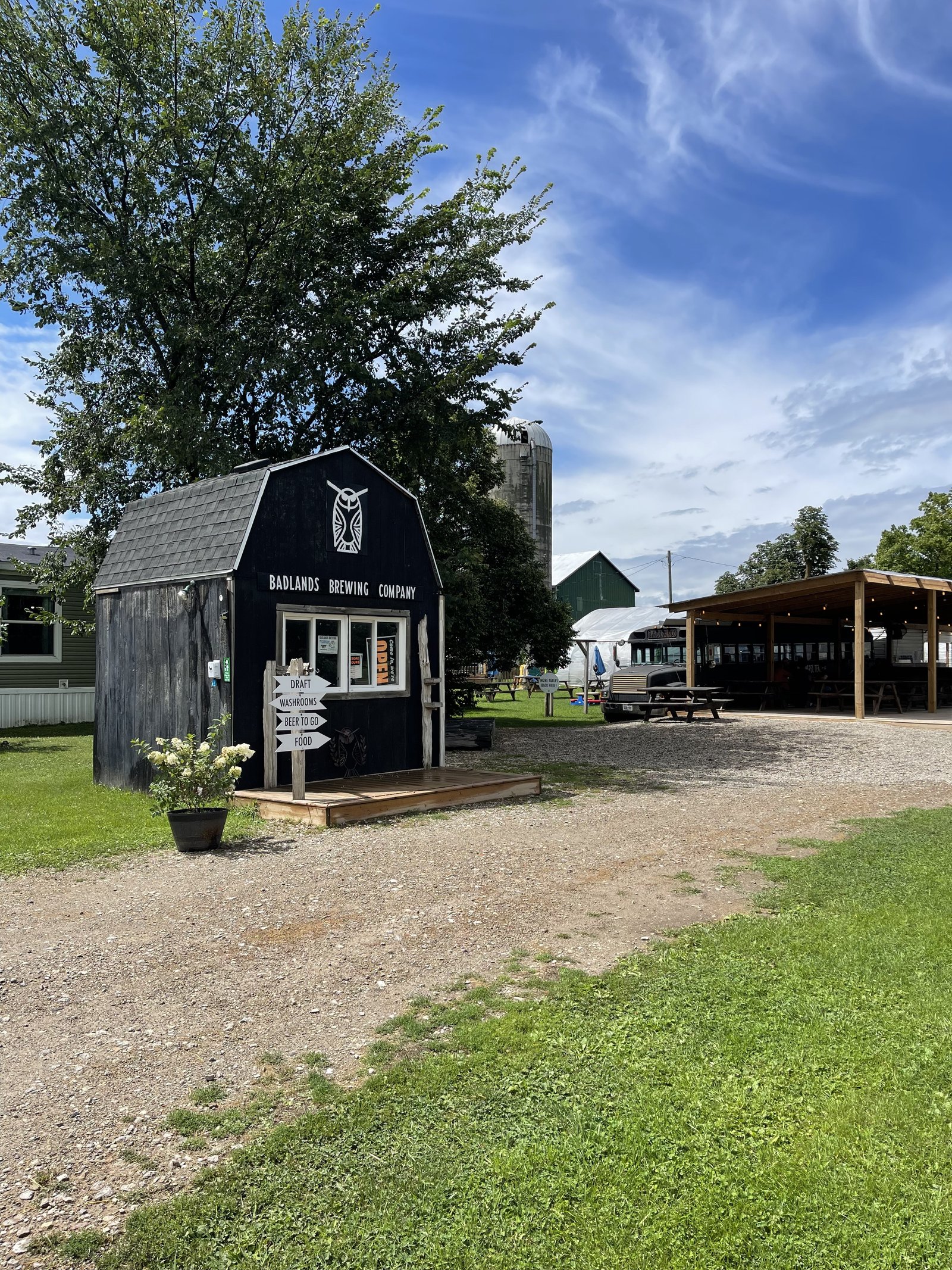
My friend Austin Kjorven convinced me that we should ride 70 km today so that I can try the beer and burgers at Badlands Brewing Company. Here’s the route we took:
I can now confirm that their smash burgers are as advertised. Great buns. I even had two of them just to make sure the first one wasn’t some sort of fluke.
My knees are, however, still giving me problems. I even tried KT tape and the brightest compression socks available in Austin’s closet.
Still, it was an awesome ride. If you happen to find yourself near Caledon, Ontario, definitely check out the Badlands Brewing Company.
I have started using Apple Maps when I cycle. I’ve been using Apple instead Google because it automatically pairs with my watch and tells me (through vibrations) when I need to turn somewhere, but I’m not here to argue that one is better at navigating than the other.
What’s great about using either Apple or Google Maps is that it will take you on routes that have bike lanes or, at the very least, routes that have less vehicular traffic.
Toronto’s cycling network is far from complete. But I have been impressed by how far I can go on dedicated lanes and by how many lanes/trails exist that I didn’t know about. Here is the city’s 2024 map showing only dedicated bikeways:
It is not fun riding a bike when you have to fight with city traffic. And so this is a great way to try and avoid that, and not think too much about which routes you should be taking. It’s also a great way to test the completeness of your city’s biking network.
I’m glad that Toronto is becoming a much better place to ride a bike.
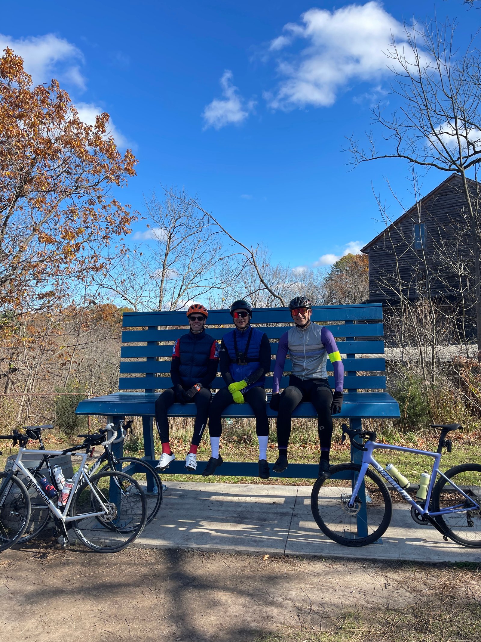
This morning, I went cycling with my good friend Austin Kjorven up in Milton. And it was a stark reminder that he is an athlete and holds a Guinness World Record, and that I spend the vast majority of my days sitting at a desk.
I’m excited for more riding this summer. Happy May long weekend, everyone.