Daily insights for city builders, delivered every morning at 6 AM ET. I’m Brandon Donnelly — a Toronto-based real estate developer and founder of Globizen. I’ve been writing here since 2013.

Tag: manhattan

  • What’s in a street name?

    In Toronto we have a street named Avenue Road. If you’re learning about this for the first time, you might be wondering: “Well, is it an avenue or is it a road?” Then again, does that sort of distinction even matter? Does it imply certain characteristics? When I think of an avenue, I think of a broad and straight tree-lined street. And indeed, Avenue Road is connected to a street called University Avenue, which is pretty straight, broad, and has trees lining it. It’s a ceremonial kind of street that leads you toward the Ontario Legislative Building. It fits my definition. And so maybe Avenue Road is really saying, “Yeah, I know I’m not an avenue in the traditional sense, but I eventually connect into one and so I have decided to use both names.”

    It could also be the case that we haven’t always been that meticulous when naming our roads. Or perhaps we simply changed the way we designed and thought about our streets as we sprawled outward, and along with that came some name changes. In the oldest parts of Toronto, the main streets tend to be exactly that — streets. And our secondary streets are often named as avenues. This is the opposite of a place like Manhattan, where avenues are the broad north-south streets that take you downtown and uptown, and streets are the smaller east-west roads that take you across the narrower part of the island. Here there is a very clear logic. Avenues are big. Streets are small.

    Looking at this road name map of London by Giuseppe Sollazzo (click here if you can’t see it above), it’s obvious that London’s street network is pretty much the opposite of New York’s rational street grid. But you can see what appears to be a clear graduation from streets (in the center) to roads and then to some sort of melange that seems to include a bunch more avenues. They may just be street names, but they to speak to a whole host of things, including the evolution of our cities, changing attitudes toward city planning, and naturally the adoption of new kinds of mobility. They also make for nerdy maps.

  • $27 million worth of condos in New York

    This week it was reported that a South American family has bought and closed on ~$27 million worth of residential condos at Waterline Square in Manhattan. Apparently they went into contract (after the online showings) and closed on the same day, which I suppose you can do when it’s an all-cash deal like this was. The agent, Maria Velazquez, didn’t disclose who the family was, but apparently they’re from Peru and they wanted a safe place to park their money during this pandemic. Uncertain times usually create buying opportunities, and it sounds like the family did get a bit of a bulk discount here. But it’s also interesting to see where capital is flowing right now and what is perceived as a safe haven. Residential real estate in one of the world’s preeminent global cities probably won’t come as a surprise to any of you.

  • The lost history of Seneca Village

    This is a fascinating short video (by Vox) about a former neighborhood in Manhattan known as Seneca Village. Today, its land forms part of Central Park.

    Most of us would probably agree that building Central Park was both a good idea and a powerful example of the value of foresight.

    But that doesn’t mean that the area’s pre-park history is something that should be forgotten. (Thanks for sending this along, Jeremiah Shamess.)

    If you’d like to learn more about Seneca Village, check out this NY Times opinion piece by Brent Staples. It’s called, The Death of the Black Utopia.

  • The 14th Street busway

    On October 3, New York City did something very similar to what Toronto did on King Street. It restricted through traffic on 14th Street to only trucks and buses, and turned the street into the city’s first “busway.”

    Under the new rules, cars, vans, and taxis are restricted every day of the week from 6am to 10pm, unless they’re dropping off or picking someone up, or entering into a parking garage (i.e. local traffic only). But after this, they need to make the first available right and turn off the street. Again, it’s pretty similar to the way things work here on King.

    https://twitter.com/travis_robert/status/1179813054235721728?s=20

    On the first day of the 18-month pilot program, the buses actually had to slow down in order to keep to their schedule. They were moving too quickly. Previously one of the slowest routes in the city, the M14 bus is now expected to increase its average speed by about 25%.

    Not surprisingly, a number of people were concerned that this new busway would hurt businesses along the route. This same concern has been an issue in Toronto. But this is New York. We’re talking about the US city with the highest percentage of households without a vehicle.

    The reality is that we need to get better at moving people around our cities without a car. This is one way to do it and we know it works. My prediction is that the 14th Street pilot will prove to be a success. It will then get replicated in other parts of Manhattan. Probably on other crosstown streets.

  • New York state law restricts condo conversions

    The State of New York just enacted a new law (on June 14, 2019) requiring that 51% of existing tenants agree to buy their apartments before a building can be converted into a condominium or a cooperative. There was previously no requirement for anyone to buy in order for a conversion to take place. Tenants who chose not to buy, could simply remain in the building as a renter.

    Supposedly, the real estate industry believes this new requirement will be a largely impossible threshold to meet, meaning that condo/co-op conversions could now be dead in NYC. There’s also an argument that conversions have historically helped many middle class New Yorkers buy a home since they sometimes (usually?) had the chance to buy their apartment below market at the time of a conversion.

    I’m not familiar enough with this space to be able to opine on the merits of these arguments, so I won’t. Perhaps some of you will in the comment section below. Instead, I will leave you all with a chart showing the median condo sale price in Manhattan over the last ~30 years (taken from the same WSJ article). I like seeing long(er) term charts. Maybe you do too.

  • Zoned for detached single-family housing

    We are in West Virginia now, where the only kind of housing that we have come across is — not surprisingly — low-density, detached, and single-family.

    Indeed, approximately 75% of the residential land across the entire US is estimated to be zoned for detached single-family homes. Using data from UrbanFootprint, the NY Times recently published a series of city maps outlining the percentage of land dedicated exclusively to this housing type.

    In some cases, such as on residential corner lots in Portland, duplexes are allowed. But generally speaking, the pink corresponds to detached single-family housing. About 15% of residential land in New York City is zoned for this, compared to about 94% of the land in San Jose.

    Interestingly enough, none of the residential land in Manhattan is zoned to accommodate detached single-family housing.

  • The sensing power of taxis

    The latest project out of MIT’s Senseable City Lab examines the “sensing power of taxis” in various cities around the world. Looking at traffic data, they determined how many circulating taxis you would need to equip with sensors if you wanted to capture comprehensive street data across a particular city. This might be useful if you wanted to measure things like air quality, weather, traffic patterns, road quality, and so on.

    What they found is that the sensing power of taxis starts out unexpectedly high. It would only take 10 taxis to cover 1/3 of Manhattan’s streets in a single day. However, because taxis tend to have convergent routes, they also discovered rapid diminishing returns. It would take 30 taxis (or 0.3% of all taxi trips) to cover half of Manhattan in a day, and over 1,000 taxis to cover 85% of it. A similar phenomenon was observed in the other cities that they studied: Singapore, Chicago, San Francisco, Vienna, and Shanghai.

    However, if you look at the percentage of trips needed to scan half of the streets in a city, Manhattan has the lowest rate at 0.3%. Vienna is the highest at 9%. But I’m not sure if this is a function of the utilization rate of their taxis or if it has something to do with urban form. Singapore has a similarly low rate (0.44%), but its street grid looks nothing like that of New York’s.

    Here’s a short video explaining the project:

  • OMA’s first ground-up project in Manhattan finishes construction

    121 East 22nd — which is OMA’s first ground-up project in Manhattan — recently finished up construction at the corner of E 23rd St and Lexington Ave (the site continues through to E 22nd St, where there is basically a 2nd building). I wrote about the project over two years ago, here.

    Below is a photo by Laurian Ghinitoiu, via Dezeen, of it completed:

    The defining feature is its “prismatic corner”, which, I understand from this interview with David Von Spreckelsen (President of Toll Brothers City Living), was largely an outcome of the site’s restrictive zoning. There was a requirement to have constant street walls. That minimized what could be done architecturally on the project’s main elevations.

    The solution is two contextual street walls — the punched windows are designed to match the rhythm of their adjoining buildings — coming together and creating dramatic visual interest only at the point where they intersect. Below is a rolled out elevation from OMA. Note the gradient created by the windows as they converge toward the corner (center in the drawing below).

    The other interesting thing about this project is that it reminded me just how different the built form of Manhattan can be compared to Toronto. In the case of 121 East 22nd, the streetwalls rise 150 feet without any stepbacks. There is then a 10 foot stepback before the building rises another 60 feet — similarly without any additional breaks.

    I love the grandeur.

  • Manhattan is getting a congestion pricing zone

    About a year ago I wrote about how NYC is considering a congestion charge on vehicles entering Manhattan below 60th street. Well it looks like that plan could be adopted as early as April 1 (however the fees won’t start until 2021).

    Here’s a map of the proposed congestion pricing zone from the NY Times:

    I have written extensively on road pricing over the years and so I won’t repeat myself here today. Suffice to say that I think creating a sustainable funding source for transit and other mobility options is a positive step forward.

  • Hudson Yards opens in New York

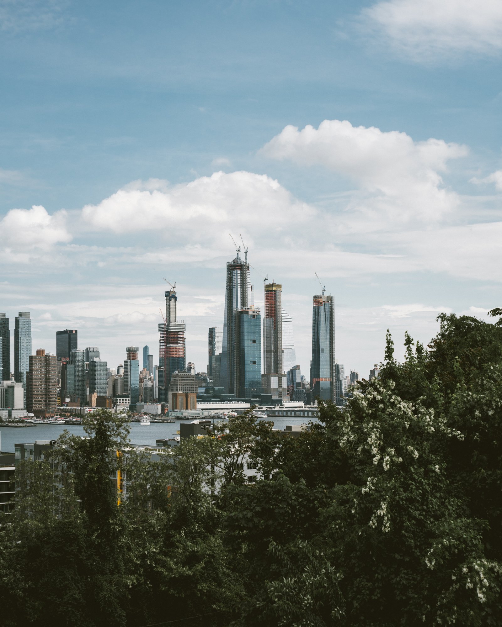
    Hudson Yards officially opened today on the west side of Manhattan. More specifically, the eastern half of Hudson Yards opened. There’s a second phase to come on the western yards. And the highly anticipated observation deck at 30 Hudson Yards — the highest outdoor observation deck in the Western Hemisphere — is also not quite ready. It is expected to open in early 2020.

    Considered the largest mixed-use private real estate project in American history by square footage, Hudson Yards has been in the works for many decades and was previously part of New York’s (failed) bid for the 2012 Olympic Games. Dan Doctoroff, who is now the CEO of Sidewalk Labs, led the bid under the Bloomberg administration.

    So today is a bit of a big deal.

    To commemorate the opening, the architecture critic for the New York Times, Michael Kimmelman, published this searing, but highly visual, piece about the project. I think it is fairly safe to assume that he isn’t a huge fan (he doesn’t seem to love developers either).

    Here’s an excerpt talking about Thomas Heatherwick’s Vessel:

    Purportedly inspired by ancient Indian stepwells (it’s about as much like them as Skull Mountain at Six Flags Great Adventure is like Chichen Itza) the object — I hesitate to call this a sculpture — is a 150-foot-high, $200 million, latticed, waste-basket-shaped stairway to nowhere, sheathed in a gaudy, copper-cladded steel.

    It preens along the critical axis between the High Line and the newish No. 7 subway station at Hudson Yards, hoping to drum up Instagram views and foot traffic for the mall, casting egregious shadows over what passes for public open space, ruinously manspreading beside the Shed, the most novel work of architecture on site, and the only building the private developers didn’t build.

    If any of you have formulated your own opinions about Hudson Yards, I would love to hear from you in the comments below. I’m looking forward to exploring the neighborhood in person sometime soon. If you’re interested in learning more about the project, Curbed also just published, The ultimate guide to Hudson Yards.

    Photo by Sandy Ching on Unsplash