Daily insights for city builders, delivered every morning at 6 AM ET. I’m Brandon Donnelly — a Toronto-based real estate developer and founder of Globizen. I’ve been writing here since 2013.

Category: public space

  • Dupont Street to become a complete street

    The City of Toronto is proposing to turn Dupont Street — between Dundas Street West and Davenport Road — into a “complete street.”

    Here’s the area in question:

    It’s 4.7 kilometers long.

    And here’s how the city thinks about complete streets:

    “Complete streets” are streets that are designed to be safe for all users: people who walk, bicycle, take transit or drive, and people of varying ages and levels of ability. They also consider other uses like sidewalk cafés, street furniture, street trees, utilities, and stormwater management.

    Right now, the city is in the public consultation phase. If you’d like to provide your feedback, you can do that here. You have until October 30th. The online tool is also pretty neat. You can drop comments on specific areas of the street. And already the map has been totally filled up.

    This is an important and busy artery in midtown. I use it all the time as a pedestrian, cyclist, and driver. It’s not the best street, though. Yesterday it took me 45 minutes to drive from one end of it to the other. Along with better street design, this part of the city could use better transit.

    I’m looking forward to seeing how Dupont ultimately gets designed.

  • Density vs. infrastructure in Liberty Village

    A beautiful new 43-storey rental building was just approved in Toronto’s Liberty Village neighborhood. More info about the project can be found, here. Not surprisingly, some people in the community were against it. Here is a recent article that blogTO published talking about people who live in high-rises not wanting a new high-rise next to them.

    One argument that is being made is that the neighborhood is already full. It has reached its density limit. We also hear this about the City of Toronto as a whole. But we know this isn’t true. Architect Naama Blonder recently did a study that found we could fit another 12 million people within our boundaries with more efficient land use policies.

    This particular site in Liberty Village is also about 400 meters from a future subway stop on the Ontario Line. So it is exactly where we should be putting more density. The problem today is that the area is suffering from a massive infrastructure deficit. The road network is inadequate and the King streetcar hasn’t been prioritized.

    It’s no wonder the area feels full. But the reality is that there are lots of examples of highly livable neighborhoods from around the world with much higher population densities. The difference is that they have the right infrastructure, the right public realms, and the right modal splits.

    Liberty Village will get there as well and it’s already underway. For a preview of the future, check out the City of Toronto’s Public Realm Strategy for the area. It was published in April 2024 and it includes things like new streets, new mid-block connections, and new parks. It is what the area needs and it’s exciting to see it happening.

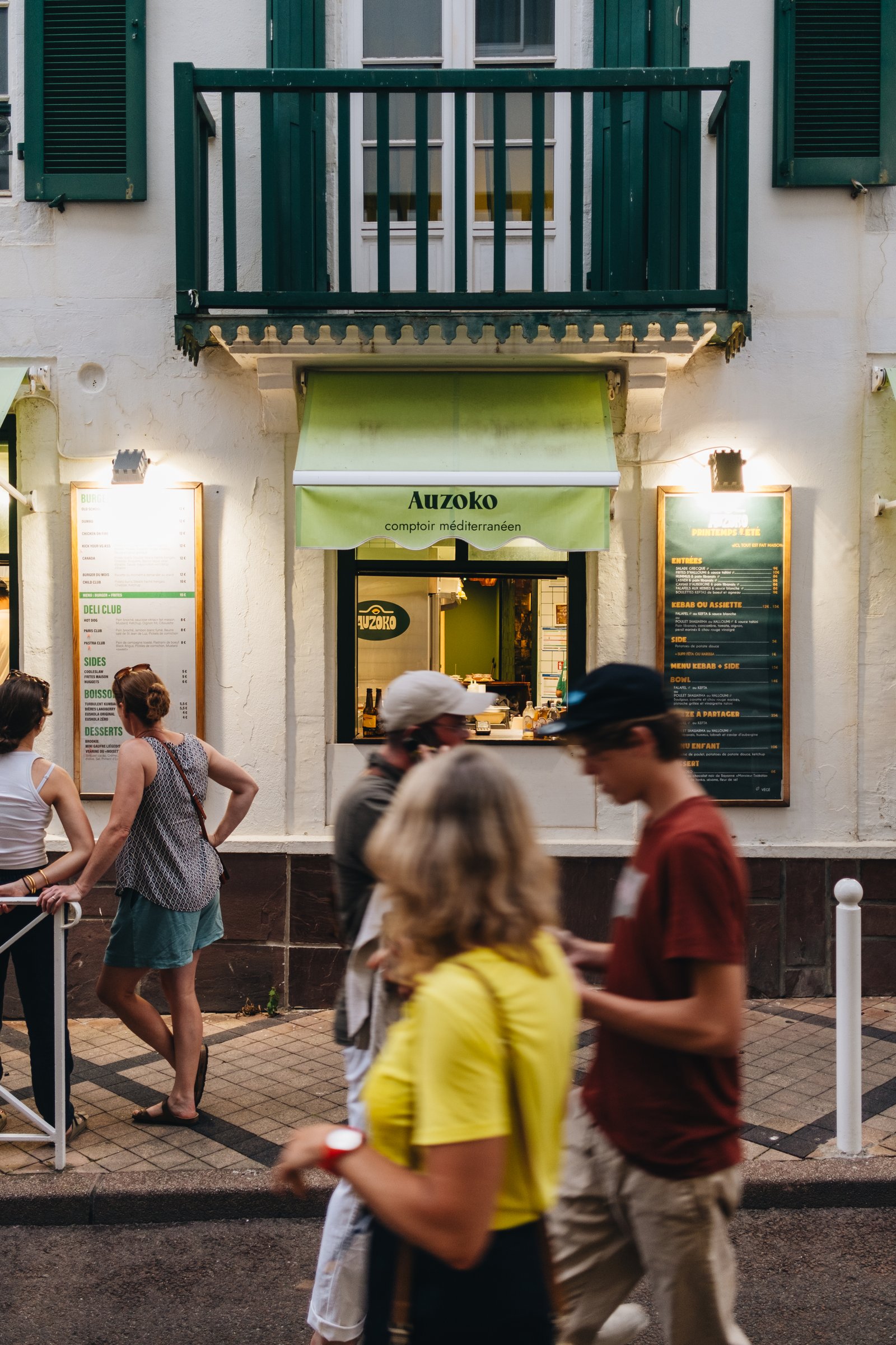
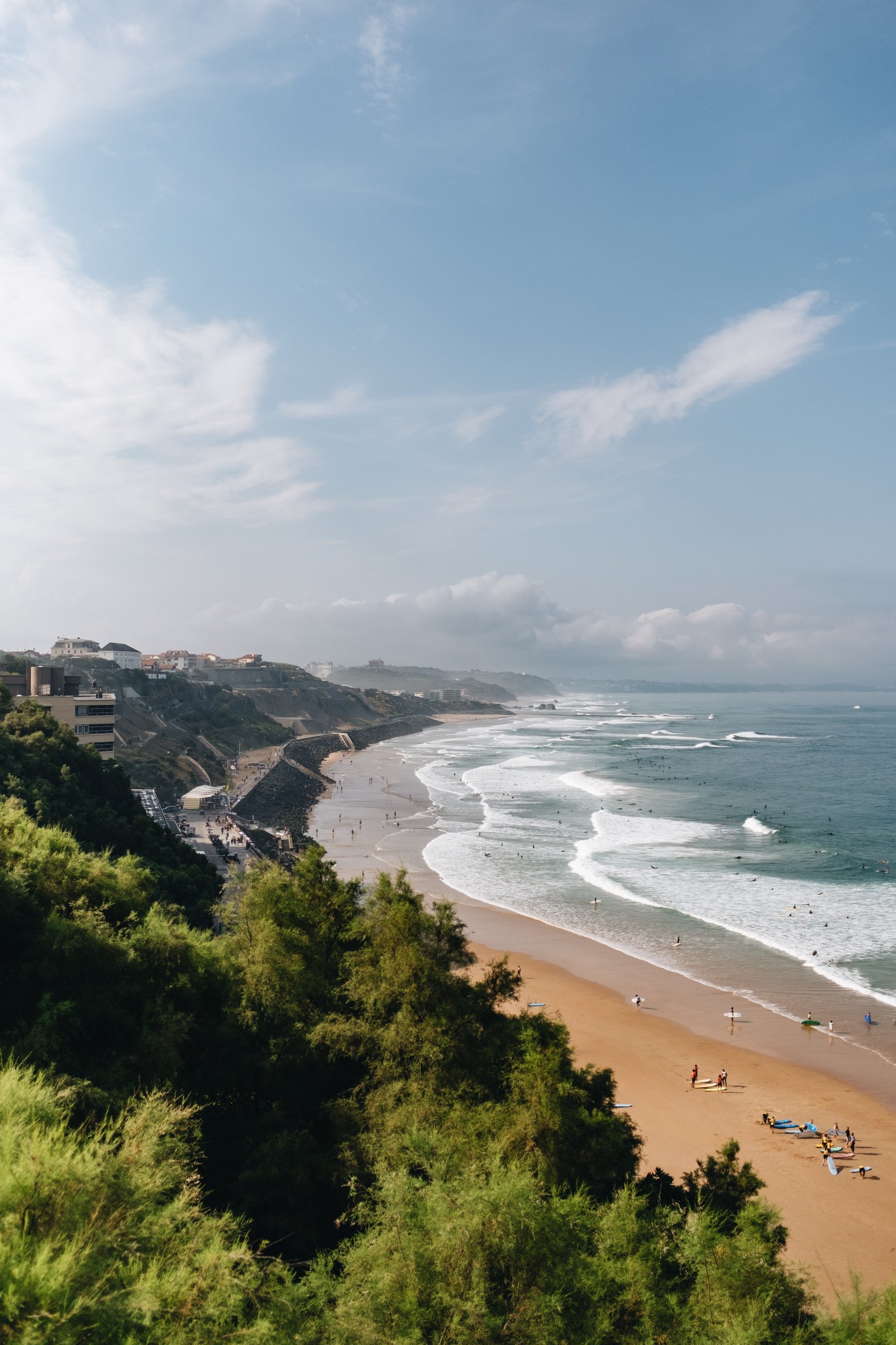
  • 🌶️ Biarritz.

    Camera: Fujifilm X-T3 (23mm lens)

  • La médina de Marrakech

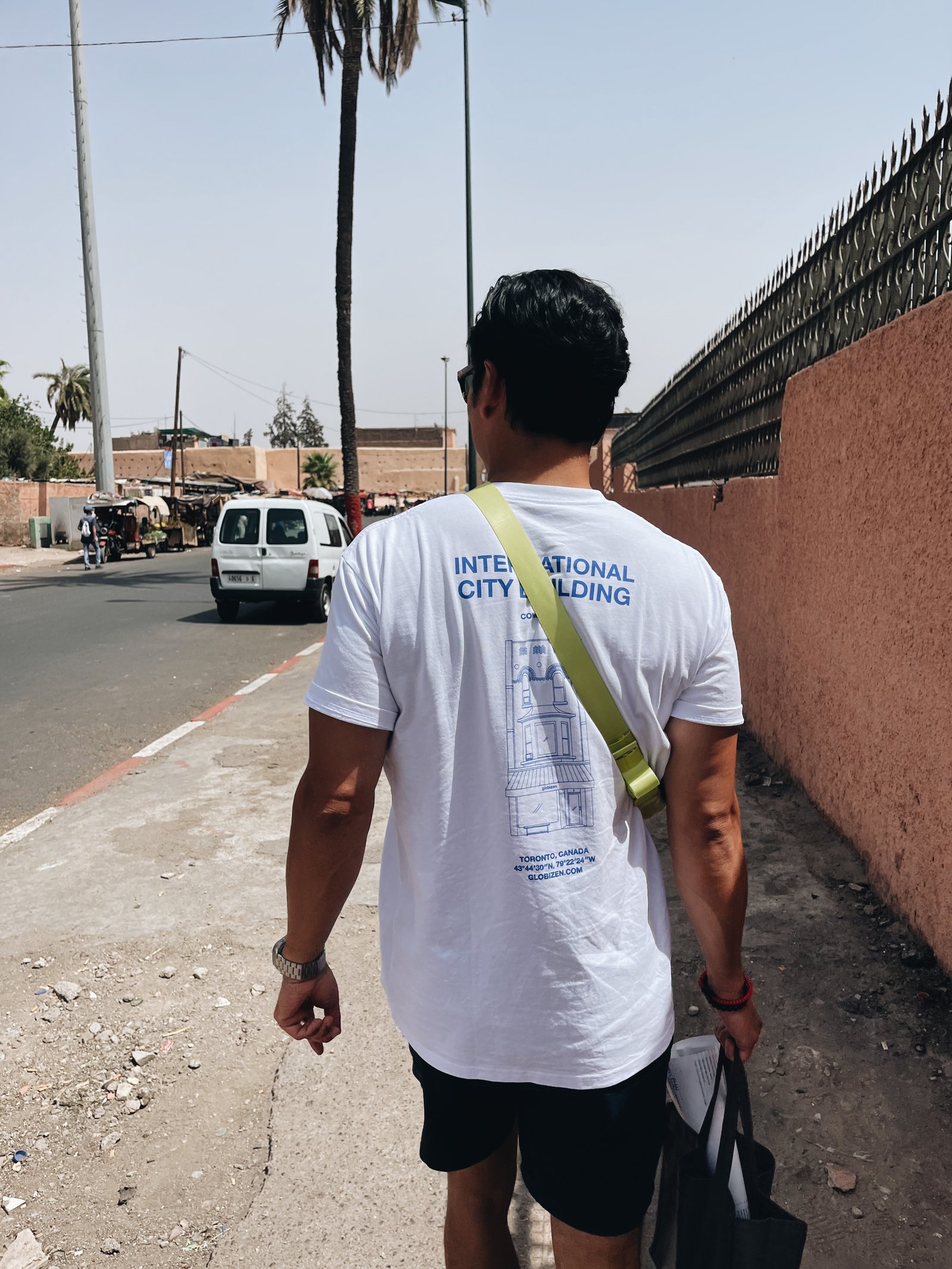
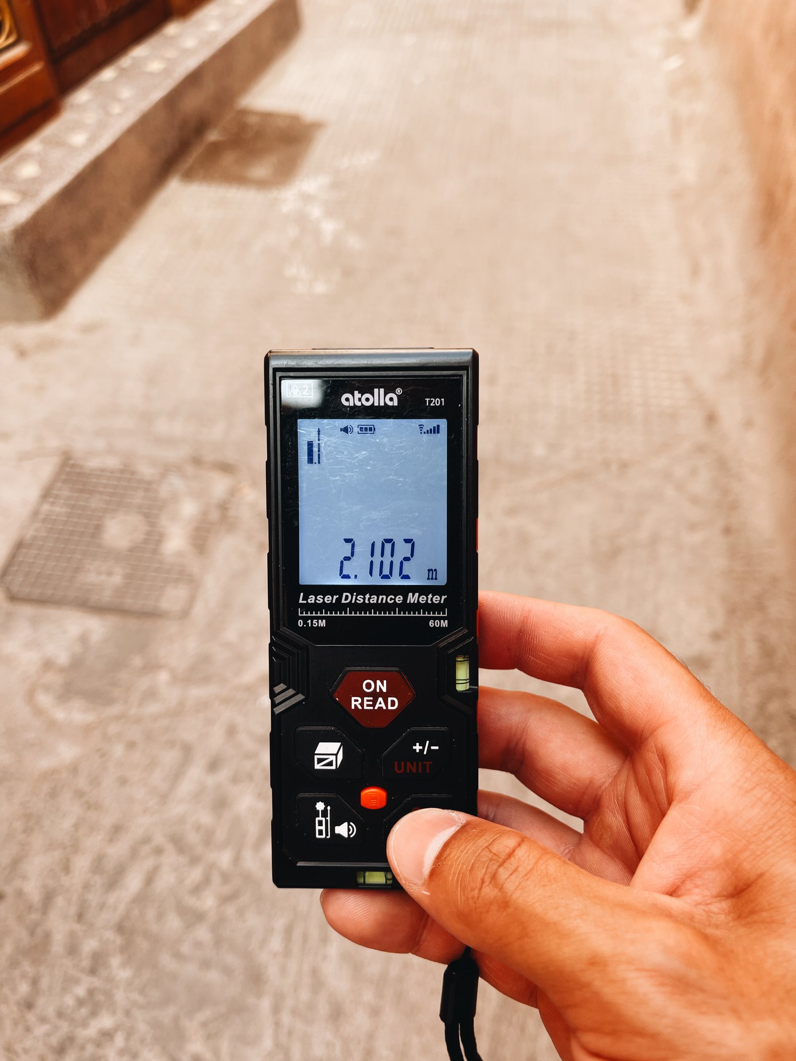
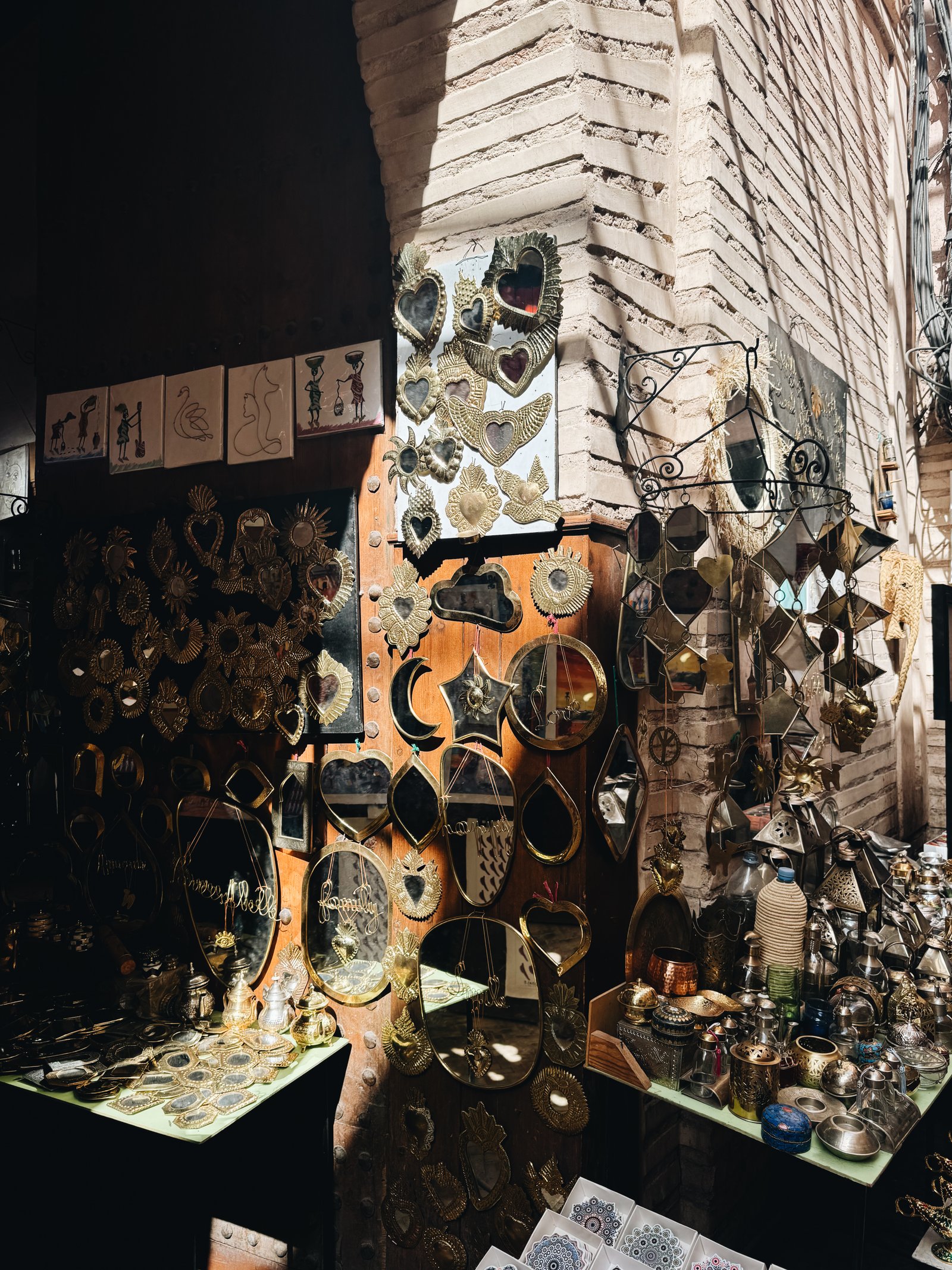
    Marrakech is one of the most frenetic, vibrant, and exciting cities that I have been to in a long time. Walking through the Medina means walking on streets that are only a few meters wide, but that are still somehow filled to the brim.

    Filled with a beautiful cacophony of people, smells, and merchants, selling everything from leather sandals to engine parts. Filled with an endless supply of people vying aggressively for your attention (and who all seem to coincidentally have a relative in Toronto). And filled with motorbikes that are liable to ride over your feet if only you let your guard down for a second.

    Sensory overload. It is at the same time exhausting and one of the coolest experiences ever.

    Another name for these streets would be “shared streets,” which is a way of saying that the formal distinctions between areas dedicated to pedestrians, cyclists, and motorists have been removed. While they are intended to be pedestrian-oriented, the overall approach is that all users just, you know, figure it out. Today, this is viewed as an enlightened approach to street design. Though it’s clearly not a new one.

    I will, however, be the first to admit that it’s easy to feel like an uptight Canadian in the Medina of Marrakech. This thought definitely crossed my mind: “I can’t believe they let motorbikes rip through these tiny streets.” You can see why somebody at some point felt it might be a good idea to carefully segregate uses.

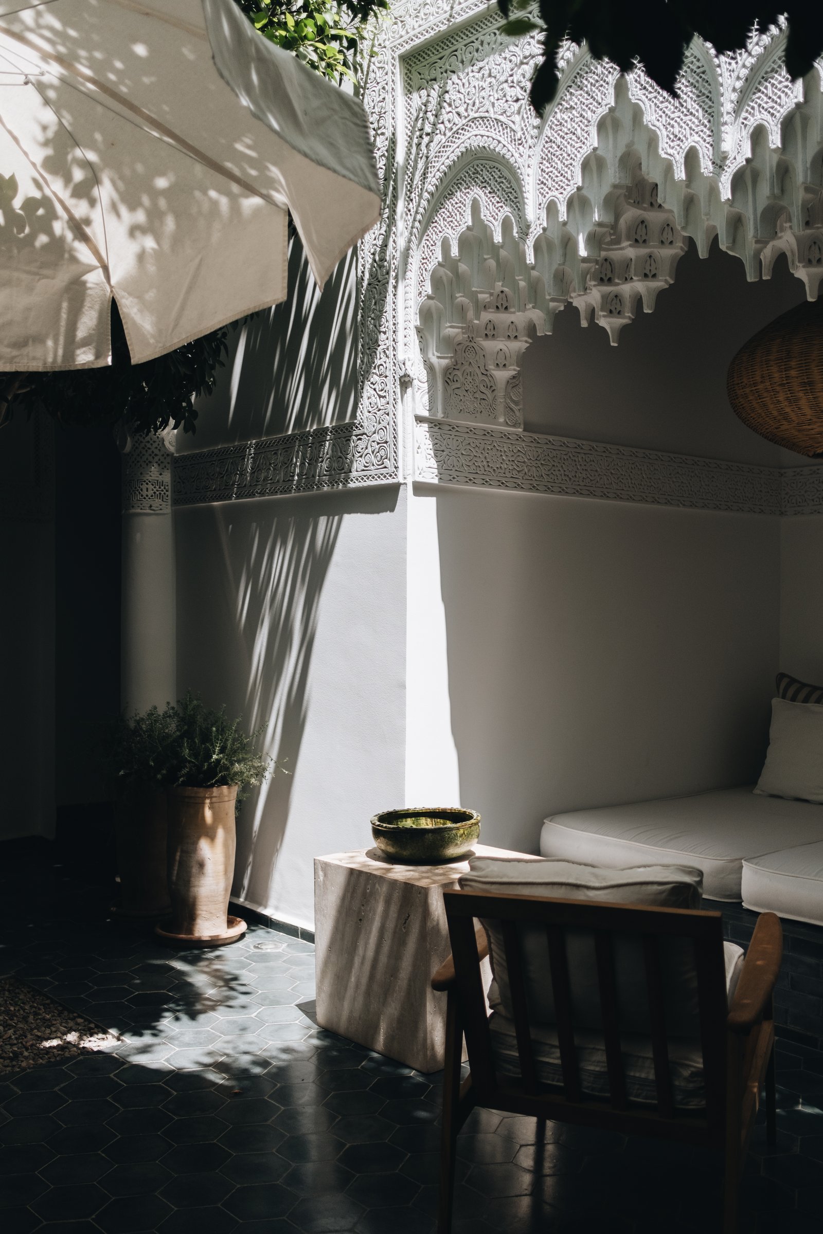
    At the same time, the architecture of Morocco feels like the perfect complement to these chaotic streets. Notably inward facing, the central feature of a traditional riad is its courtyard. These spaces offer much-needed protection from the hot Moroccan sun, but they also allow for family privacy, which is something that is important in this culture.

    The result is that you immediately feel it every time you walk inside. You have now entered a beautiful and calm oasis in the middle of a frenetic and exciting city.

  • Swimming in coves

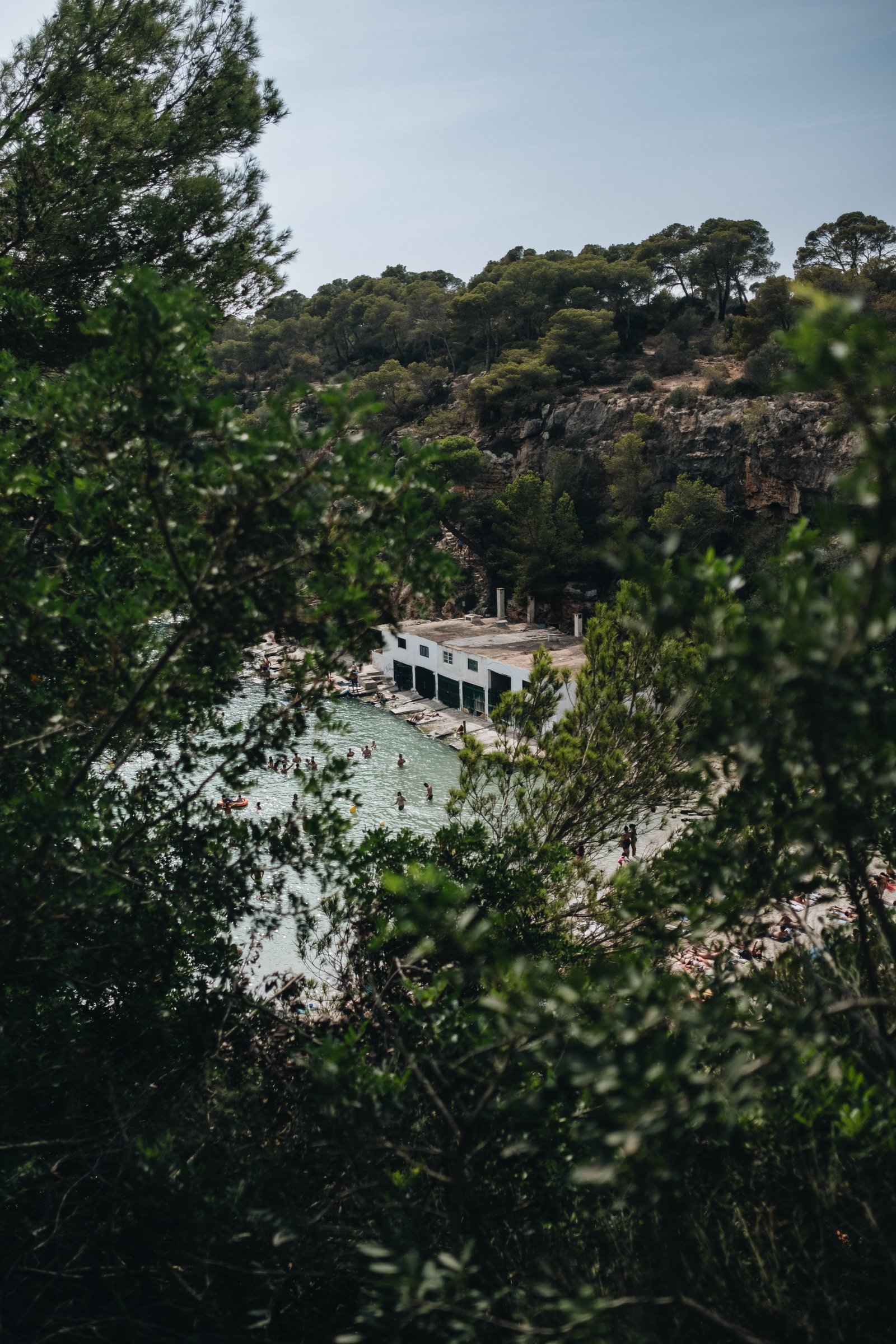
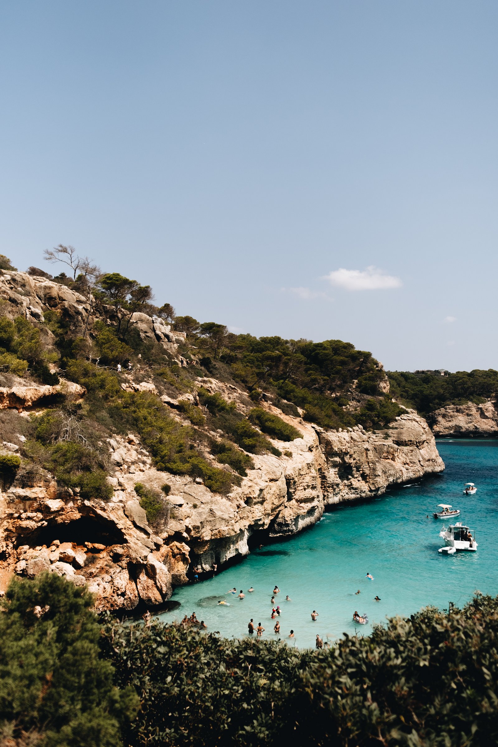
    Here are some photos from Caló del Moro, Cala s’Almonia, Cala Llombards, and Cala Pi (all in Mallorca). As I mentioned two days ago, these are some of the most beautiful public spaces that I have ever seen. We loved swimming in these coves. The Mediterranean is such a special place in the summer. But here’s a tip: If you’re planning to roam around on and jump off of the rocks, you’re going to want to invest in a good pair of water shoes.

    Next up: Marrakesh, Morocco.

    Camera: Fujifilm X-T3 (23mm lens)

  • La Rambla

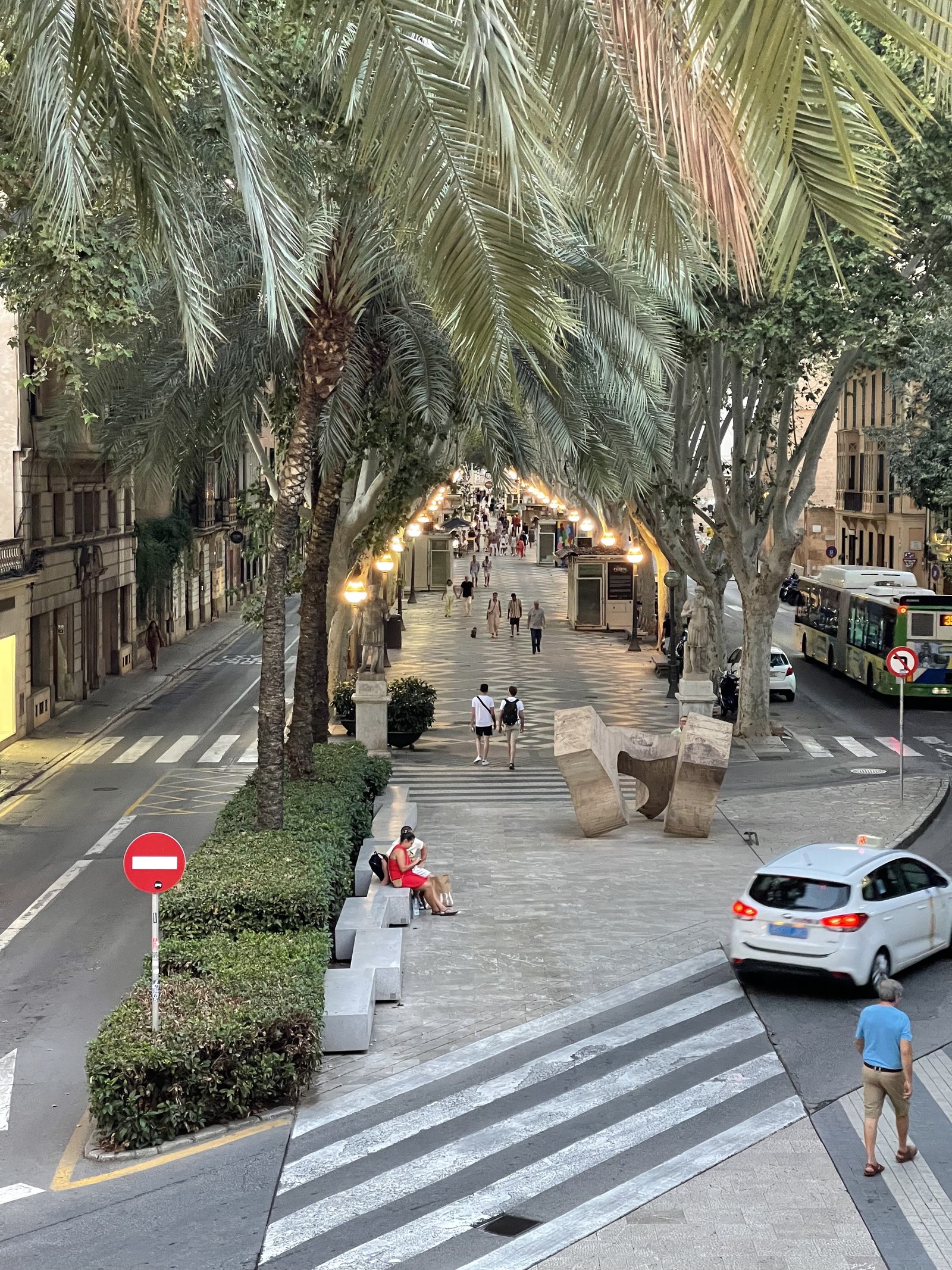
    It’s hard to think of Barcelona and not think of its famed street, La Rambla. But this same street design (and name) also appears in other cities throughout Spain. The above two streets are in Palma. The first is also called La Rambla (which is supposedly derived from an old Arabic word meaning sandy riverbed) and the second is called the Paseo del Borne. Both follow the exact same urban design principles. They’re broad tree-lined streets with a large center median dedicated to only pedestrians. All car traffic is relegated to the sides. What’s great about this design is the following. One, it reallocates public space according to who uses it the most (i.e. pedestrians). Two, it consolidates the main pedestrian realm (in lieu of just having larger sidewalks on either side of the street). And three, it establishes a clear hierarchy for the street. Pedestrians are most important here, and that’s why they get the center position. It’s surprising that more cities don’t adopt this same design.

  • Olympic athletes will — probably — be able to swim in the Seine

    Since the modern Olympic Games were revived in 1896, no city has ever hosted swimming events in an urban river. Too poopy. But Paris, as we talked about, hopes to be the first. Starting on July 30, the Seine is scheduled to host the swimming portion of the triathlon competitions.

    Except, it will depend on water quality. Today’s training sessions (scheduled for Sunday, July 28) were cancelled because water tests showed that the Seine is currently below acceptable standards. This is due to heavy rain over the last few days, which I guess overloaded the city’s storm network.

    So what is clear is that — 36 years after then-Mayor Jacques Chirac first promised to clean up the river — the city has only been able to successfully achieve this, sometimes. It’s not an easy task.

    According to Bloomberg, the clean-up efforts have already cost €1.4 billion. This was spent on doing things like constructing a 50,000 m3 holding basin (about the size of 12 Olympic-sized pools) under the Gare D’Austerlitz. This now holds storm overflow during heavy rain events, in lieu of it going into the Seine.

    But this doesn’t provide any guarantees as evidenced by today’s cancelled training sessions. Presumably, it just makes it less likely for overflow stormwater to get dumped into the Seine. So a cynic might ask: Why bother with all of this?

    Well, for one thing, swimming in a river in the middle of a major global city is just plain cool. Look at how the Swiss do it. But another reason could be that you want to create one of the greenest cities on the planet. And if that’s the case, then seeing athletes swimming in the Seine is a pretty powerful image.

    It shows progress.

    Photo by J Shim on Unsplash

  • Montréal is making yet another case for pedestrian-only streets

    There are parts of Toronto that are pedestrian only. There’s the Distillery District, some small laneways in Yorkville, the Toronto Islands (though this is a bit of a unique situation), and various other pockets around the city.

    There are also streets that we temporarily open up to only pedestrians, such as Market Street and King Street, and areas, such as Kensington Market, that we have been rigorously considering pedestrianizing for as long as I can remember.

    What is clear is that pedestrian-only streets are controversial. Motorists fear that it will make driving in the city even more inconvenient. And businesses fear that it will limit their customer base.

    While it is true that not all streets can and should be pedestrianized, there are countless examples of streets and areas that appear to be thriving because of it.

    Take, for example, Montréal.

    Since 2021, the city has been pedestrianizing a stretch of 30 blocks along Mont-Royal Avenue during the summer months. And according to Mayor Valérie Plante, the commercial vacancy rate for the street has dropped from 14.5% in 2018 to 5.6% in 2023:

    Maybe you don’t want to infer causality here, but at the very least, it seems to suggest that the street isn’t dying and bereft of human activity. This year, pedestrianization is also planned to be extended further into the fall.

    This won’t necessarily be the outcome for all streets, but I do agree with this recent Globe and Mail article that, oftentimes, the reasons for not pedestrianizing are “a question of philosophy, not geography.” Because there’s lots of research and data to support doing this.

    If any of you are business owners along Mont-Royal, I’d love to hear about your experiences and how you think, for better or for worse, it has changed the area. Leave a comment below or drop me a line.

  • We are close to home

    I don’t use Facebook anymore, but I was recently sent this. It is a post by a reporter for The West End Phoenix asking people from the community what they think of the JUNCTION sign on top of Junction House. As of right now, there are 217 comments and, if you scroll through them, you’ll see that they are actually overwhelmingly positive.

    Some people were critical of the fact that, depending on what you consider to be the boundaries of the Junction, this sign may or may not actually be in it. Some see Junction House as belonging to the West Bend neighborhood. So here is yet another real estate developer stretching boundaries and renaming neighborhoods.

    I don’t know, neighborhood boundaries are a funny thing. They’re often amorphous and they often change. Here’s what Google believes to be the boundaries of the Junction:

    As you can see from the map, the whole point of the sign was to mark one of the entrances to the neighborhood. Although, Junction House seems to sit on contested lands; Google Maps shows it as simultaneously belonging to the West Bend. Whatever the case, it is really great to see that the vast majority of people seem to love the sign.

    My favorite comment is this one here: “Love it. My kid recognizes it and always yells that we are close to home.” I mean, this was our hope. We wanted to create something that could become a symbol for the area, help to reinforce its existing identity, and also bring people delight. The fact that kids are loving it makes it that much better.

    Perhaps this is proof that we shouldn’t be so rigid when it comes to the design of our cities. A little color, and some LEDs that look like neon, can be a positive thing. Just ask the kids.

  • Miroir d’eau

    My colleague shared this project with me while we were researching water features for one of our projects. It is called the miroir d’eau (water mirror) and it’s located in Bordeaux, France.

    Supposedly, it is the largest of its kind in the world, or at least that was the case when it was completed back in 2006.

    As a design concept, it couldn’t be simpler. It consists of a 2cm deep layer of water that is meant to reflect its surroundings. In addition, there are small jets that periodically mist water, and so it also serves as an active splash pad in the summer months.

    Sometimes, or maybe oftentimes, the best ideas are the simplest ones. And in this case, it feels like they really nailed it. The water mirror lets the surrounding architecture do the talking.

    The above video is in French, but even if you don’t understand what they’re saying, it will give you some good visuals of the water mirror. It should also convince you that it has helped to create a highly successful public space.