Daily insights for city builders, delivered every morning at 6 AM ET. I’m Brandon Donnelly — a Toronto-based real estate developer and founder of Globizen. I’ve been writing here since 2013.
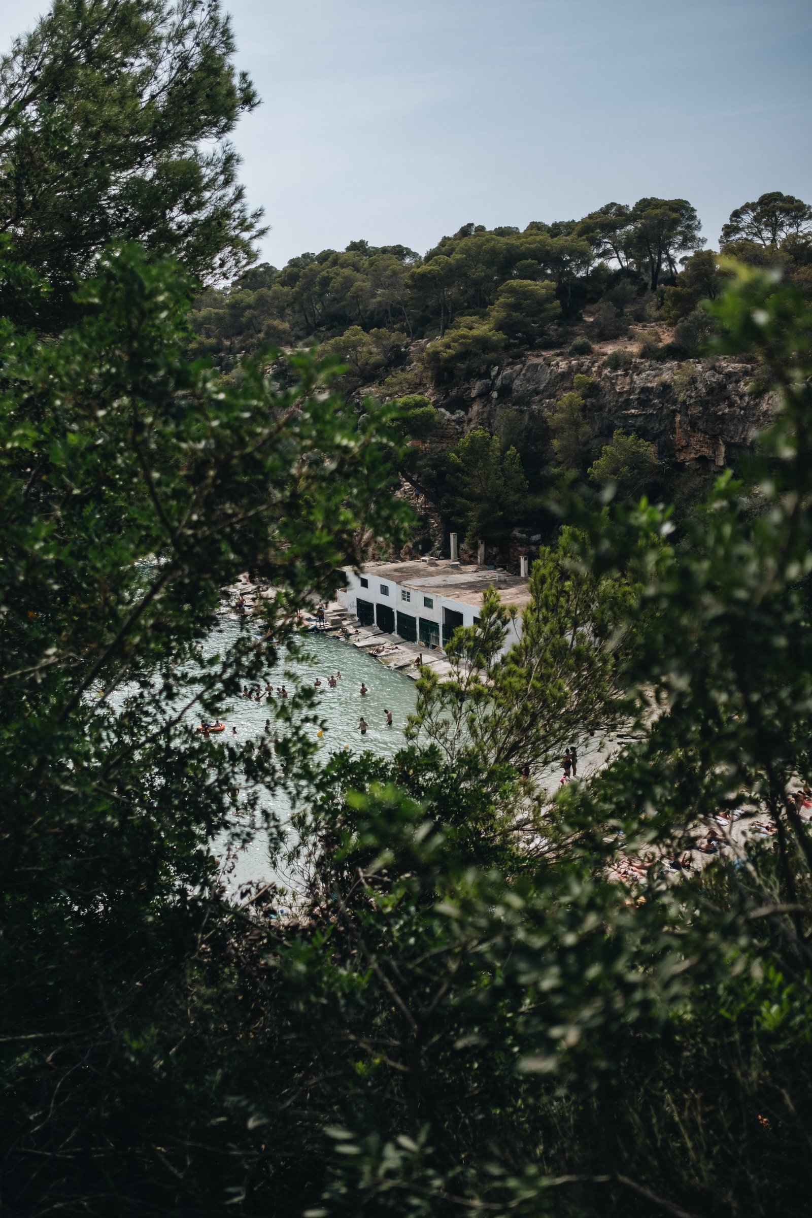
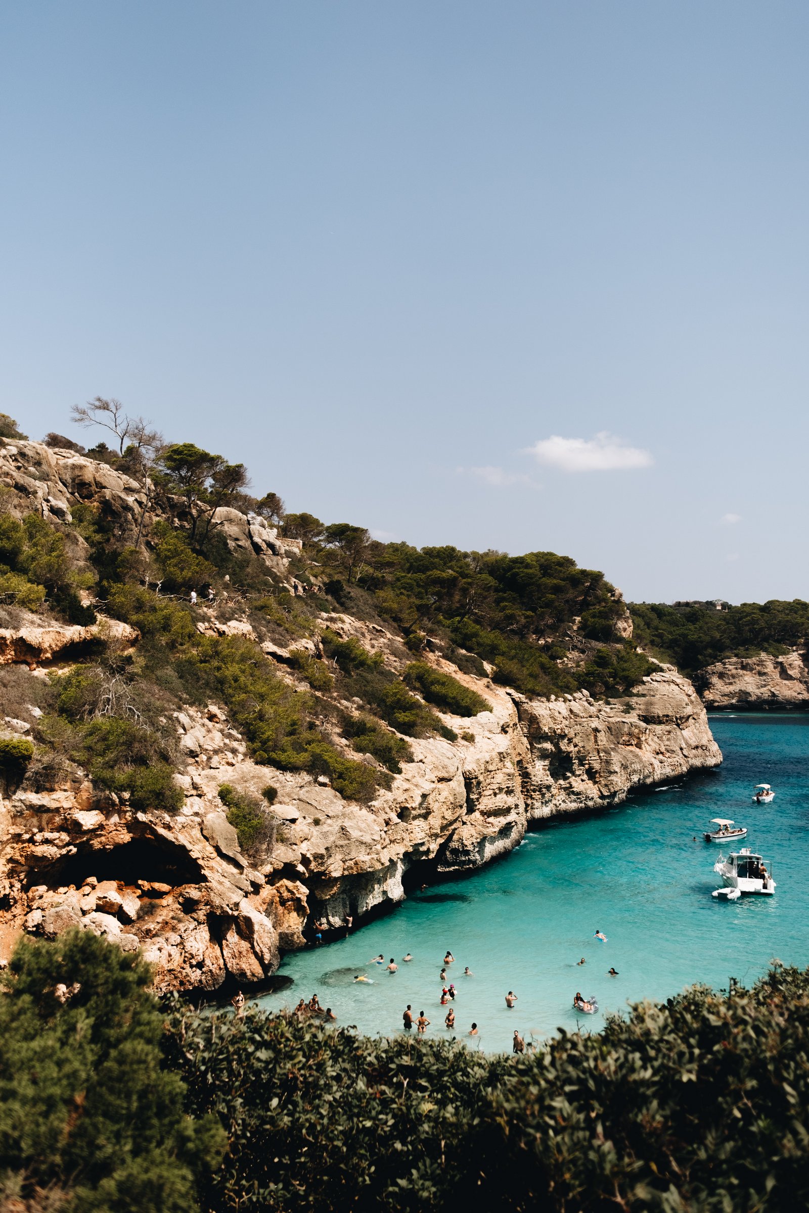
Here are some photos from Caló del Moro, Cala s’Almonia, Cala Llombards, and Cala Pi (all in Mallorca). As I mentioned two days ago, these are some of the most beautiful public spaces that I have ever seen. We loved swimming in these coves. The Mediterranean is such a special place in the summer. But here’s a tip: If you’re planning to roam around on and jump off of the rocks, you’re going to want to invest in a good pair of water shoes.
Today we rented a car so that we could go and explore other parts of Mallorca. We went to three different beaches and coves on the southeast coast, and they were some of the most beautiful public spaces I have ever seen.
Along the way, we stopped at an Aldi to grab picnic supplies. I love Aldi. It’s amazing how much less expensive everything is here compared to back in Toronto, even once you do the EUR to CAD conversion.
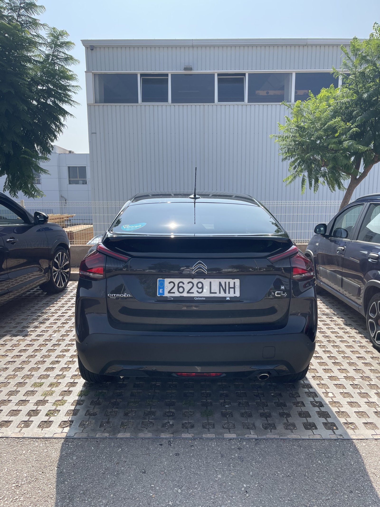
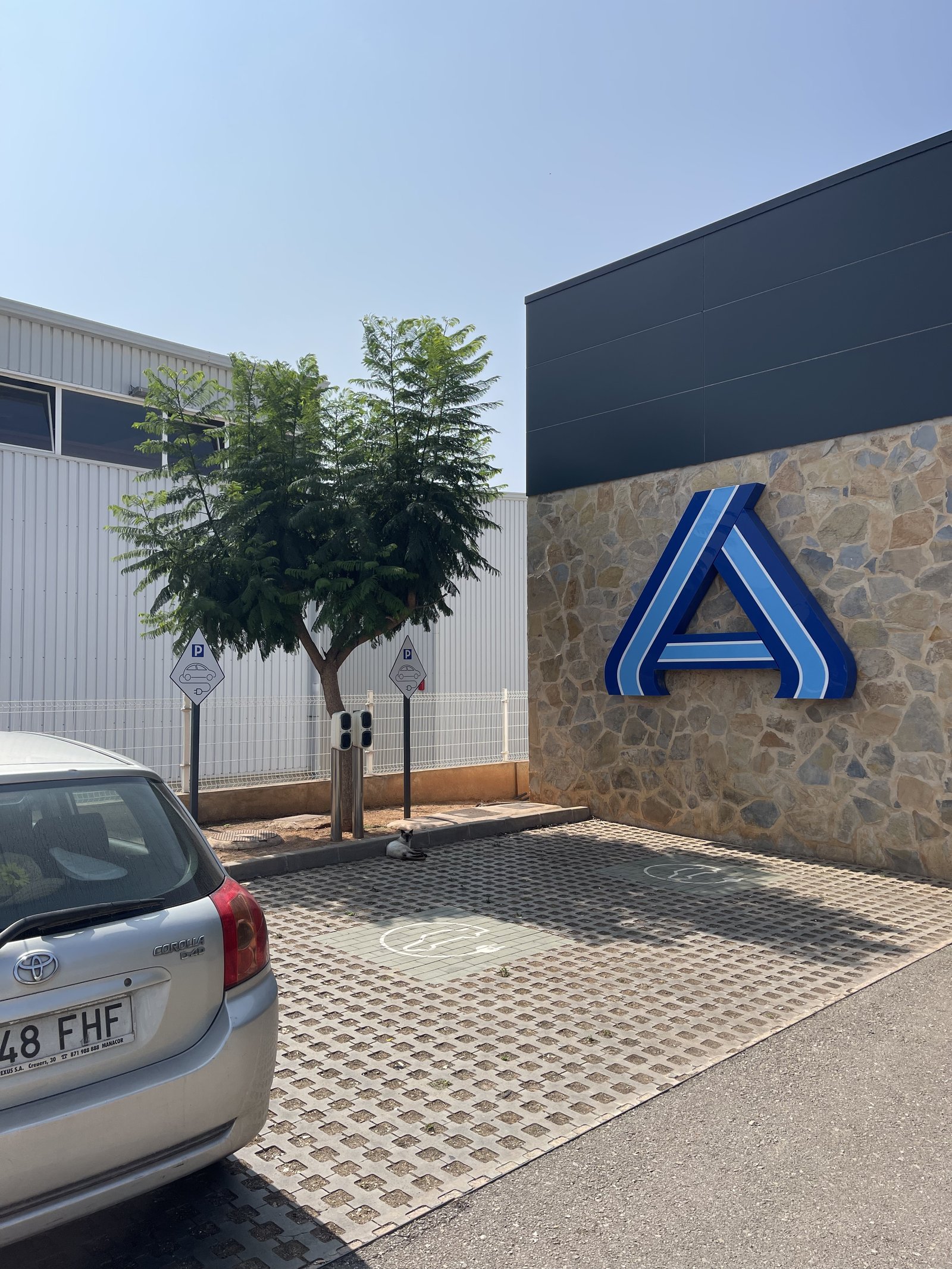
As soon as we pulled in, the first thing I noticed is that every single parking space had permeable pavers. Here are two photos. The second photo is to also show you their EV charging spaces and one of the two cats that seems to live at the store.
Permeable pavers are, of course, useful because they help to reduce surface runoff. Meaning, they allow some amount of water to filter into the ground, which is not the case with impermeable surfaces.
Considering that Toronto has already had two major flood events this summer alone, I think it behooves us to take note. When is the last time you’ve seen permeable pavers used in a public parking lot in Canada or the US? Serious question. I can’t think of an example.
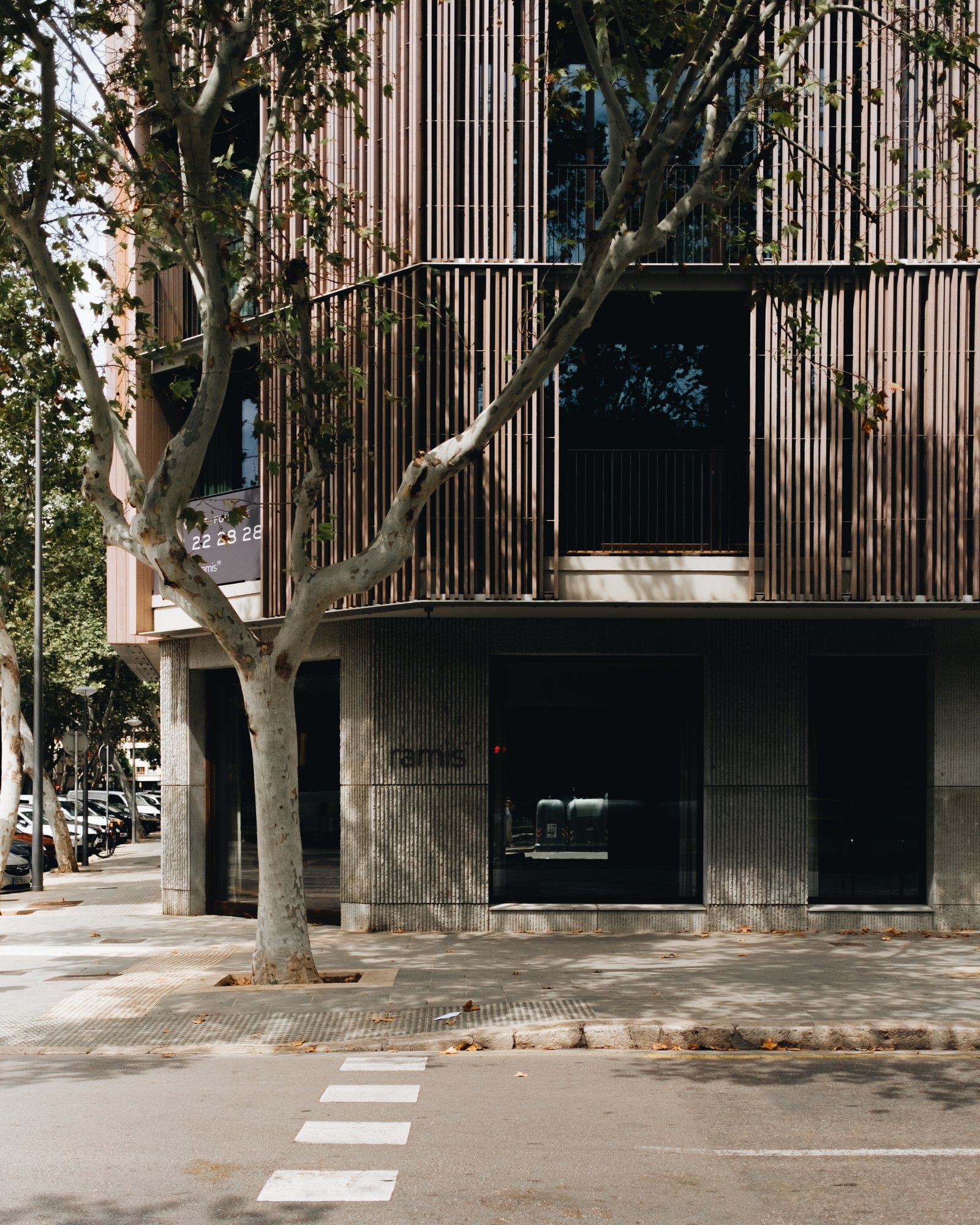
This is a beautiful apartment building in the center of Palma. Brutalist ground floor. Operable wooden slats up the rest of the facade. It feels right at home in this climate. It’s also a passive-energy building that uses 90% less energy compared to a “conventional” apartment building. The technical classification is nZEB (or a nearly zero energy building). It’s pretty amazing that with only 9 apartments, these kinds of projects pencil here. Perhaps it’s no surprise that it’s also a single-stair building.
I just turned on my out of office. Neat B and I leave this evening for our honeymoon. Our first stop is Mallorca. Neither of us have been before and it has been on our list.
One of our goals for this trip is to be active. So among lots of other things, the plan is to get on some bikes at some point. We hear that Mallorca is a pretty good island for that.
As always, I’ll be continuing to write. I love writing when I’m on vacation and experiencing new things. The laser distance meter is also in my bag, so expect some of this and this.
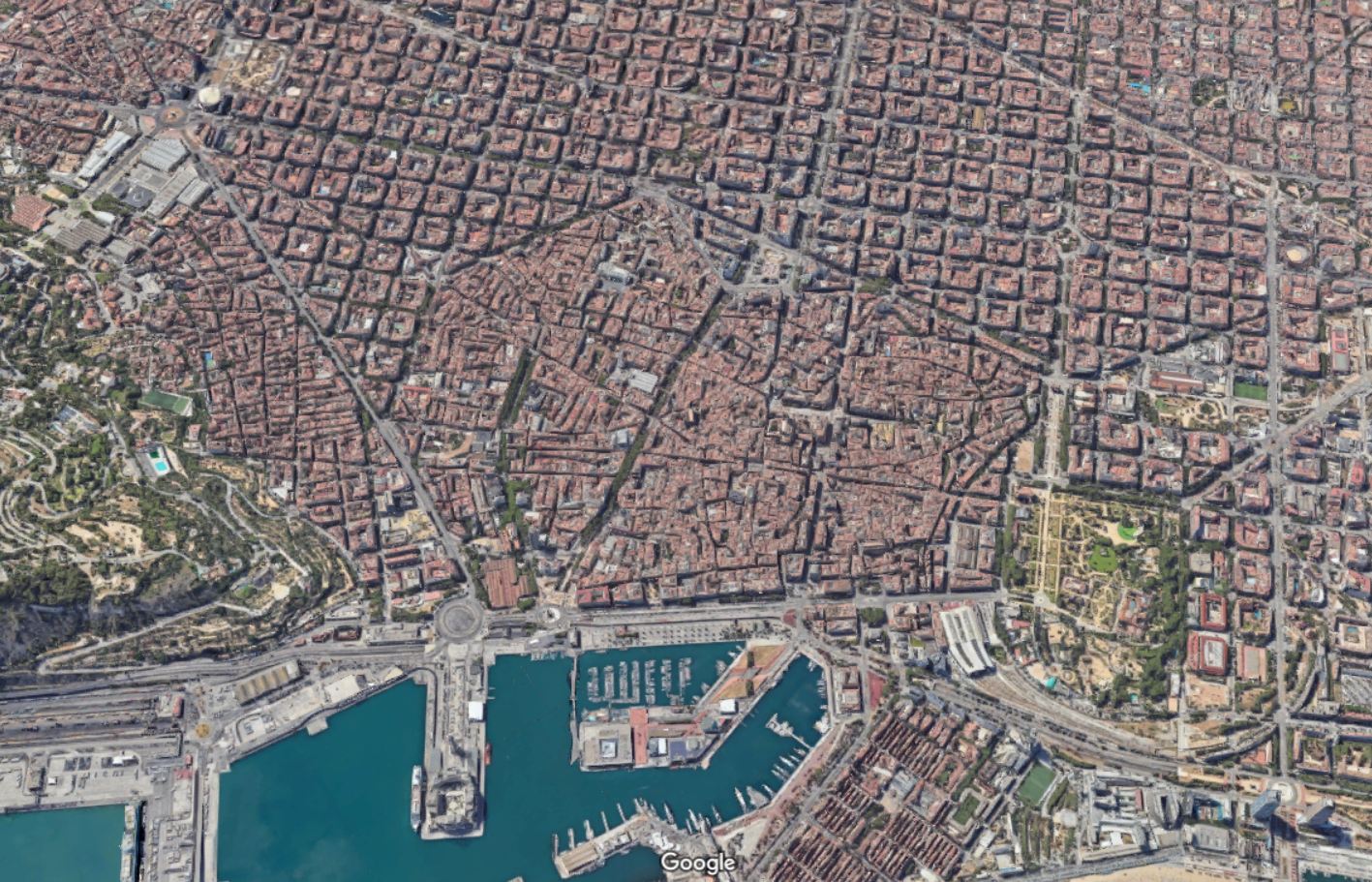
Let’s continue with our theme of city blocks and talk about another city with a noteworthy street grid: Barcelona. Up until the middle of the 19th century, Barcelona was a tiny medieval city hemmed in by 6 km of walls and totalling just over 2 square kilometers. If you look at a map of the city today, it’s pretty easy to see where this was:
This was of course done for military purposes. Barcelona’s medieval walls helped the city resist siege after siege. But the result was also overcrowding, unsanitary conditions, and a generally low life expectancy. So after much debate, it was eventually decided that the walls would need to come down and that the city would need to expand outward.
This then raised the question: how should it be done?
Enter a civil engineer named Ildefons Cerdà. Created in 1860, the Cerdá Plan for Barcelona was a continuous grid of blocks intended to guide the future growth of the city, similar to what the Commissioners’ Plan did for Manhattan. The blocks measured exactly 113.3 by 113.3 meters and each was to have a central open space of at least 800 square meters.
In his original plan, the streets were to be 35 meters wide. But supposedly these were narrowed to no more than 20 to 30 meters due to criticism from the public. Wide streets and more lanes were, I guess, not seen as a benefit in the second half of the 19th century. Either this, or landowners simply wanted bigger buildings.
The Cerdá Plan got approved in 1860 and, today, the city looks like this:
One particularly unique feature of this plan was that the blocks all had/have chamfered corners. This improved visibility at the intersections, as well as created opportunities for public spaces and other uses. For better or for worse, today, you’ll find parking for cars and scooters, bike share stations, ramps leading to underground garages, patios, and more.
The heights of the buildings on each block were also intended to be capped at a consistent height. But even with relatively few tall buildings, the Cerdà Plan led to one of the densest cities in Europe. Today, it is also viewed as a highly livable and desirable city. Hence why the city announced a total ban on short-term rentals. Too popular.
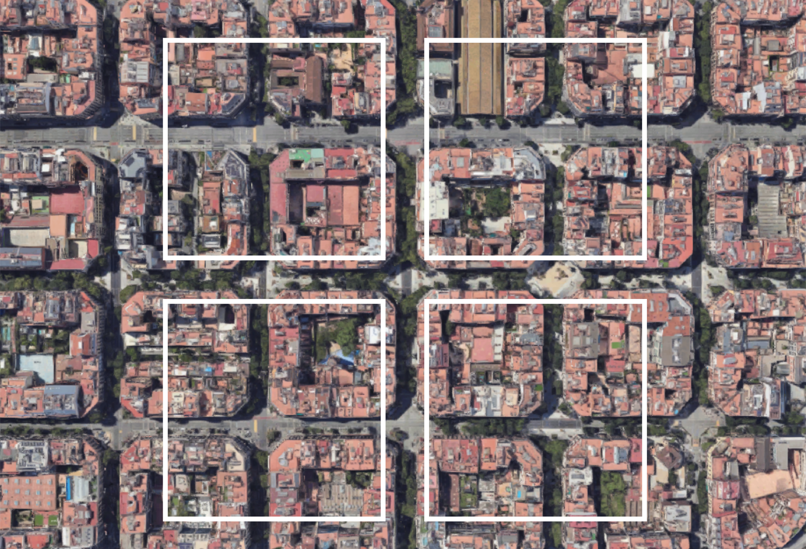
Now for a comparison. Last week we spoke about Salt Lake City’s large city blocks (here and here). And so for fun, here’s what these blocks would look like on top of Barcelona:
The most obvious takeaway is that Salt Lake City has larger city blocks than Barcelona, and that’s one reason why, objectively, Barcelona is more walkable and urban than SLC. But I think you could also view this graphic as a tremendous opportunity.
Barcelona is in the midst of rethinking its urban fabric around something called “superblocks.” The idea here is to cluster blocks together and then concentrate transit and vehicular traffic along its edges, creating a more pedestrian-focused center. For example, in its largest form, a superblock might be a 3 x 3 grid, creating a grouping of 9 city blocks.
But it doesn’t necessarily need to be a 3 x 3 grid. Other permutations are possible and the city plans to eventually introduce over 500 of them.
The first superblock was implemented in 2017 and, not surprisingly, it improved air quality, increased quietness, and led to a significant decrease in car usage (-92%). Interestingly enough, it only led to a moderate increase in car traffic on surrounding streets (+3%). Traffic can be a funny thing.
Creating superblocks out of smaller blocks is naturally easier than the opposite. You have an existing grid to work with. But there’s no reason that the opposite can’t also be done. And I think that’s one way to look at Salt Lake City’s street grid. It already has its superblocks. Now it’s just a question of creating all of its smaller blocks.
If you hang around Park City long enough, you will come across things with the name Ontario. There’s Ontario Avenue. There’s the Ontario hiking trail at Deer Valley. And I’m sure there are other things.
As a Canadian, I couldn’t help but wonder why. So today I looked it up. And it turns out that the mining company that first put Park City on the map was the Ontario Silver Mining Company (see above stock certificate).
Established in 1872, it was a major contributor to Park City’s economy (when it was a mining town) and it is usually credited as the mine that generated the most consistent yield in Utah during the late 19th century.
Cool, so why was it called Ontario? Well, according to the Park City Museum, the mine was first discovered by prospectors from Canada (though they later sold off their claim to George Hearst for a handsome $30,000).
I can’t seem to find any info about these Canadians, but the province of Ontario did get its name in 1867, so at least the chronology check outs.
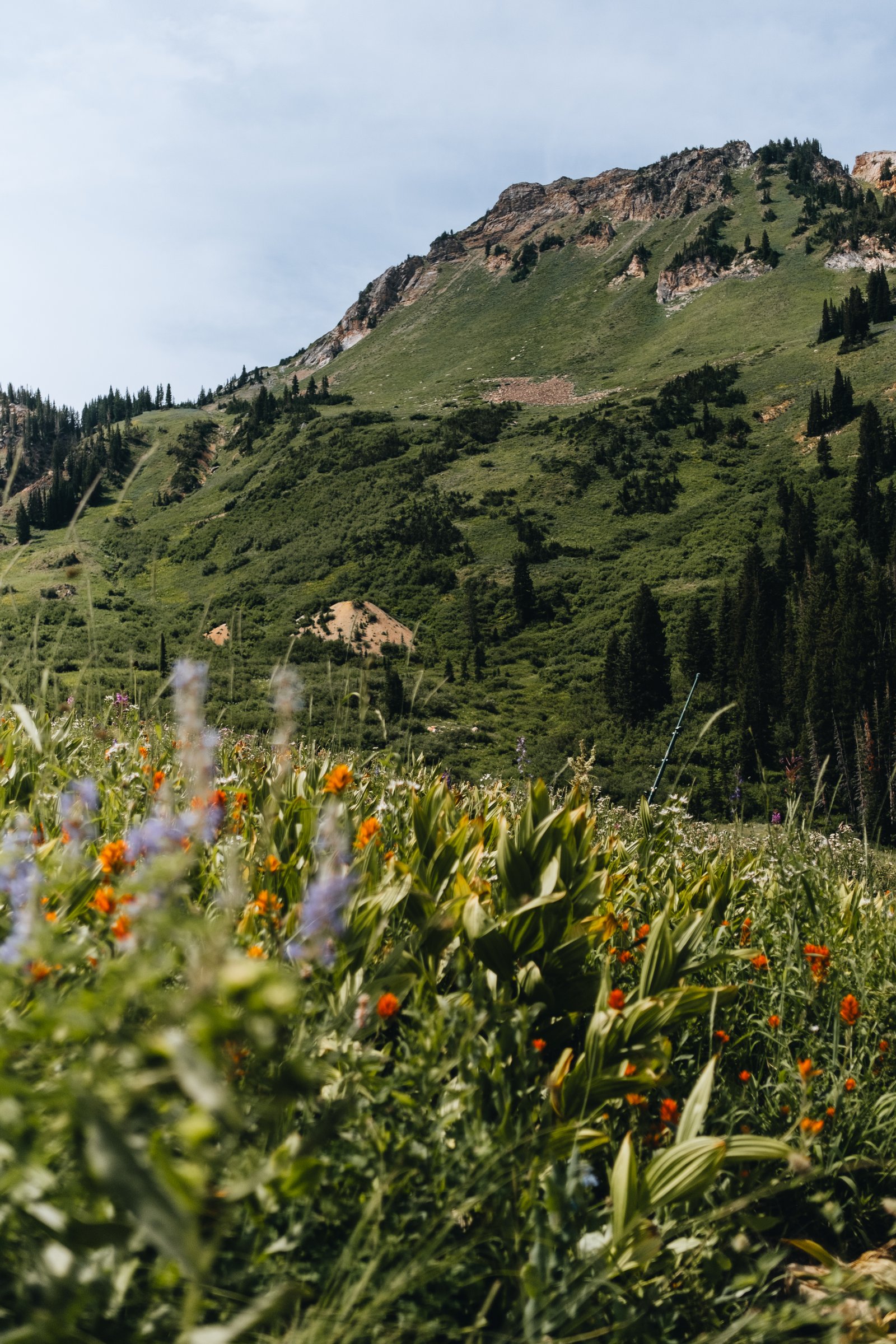
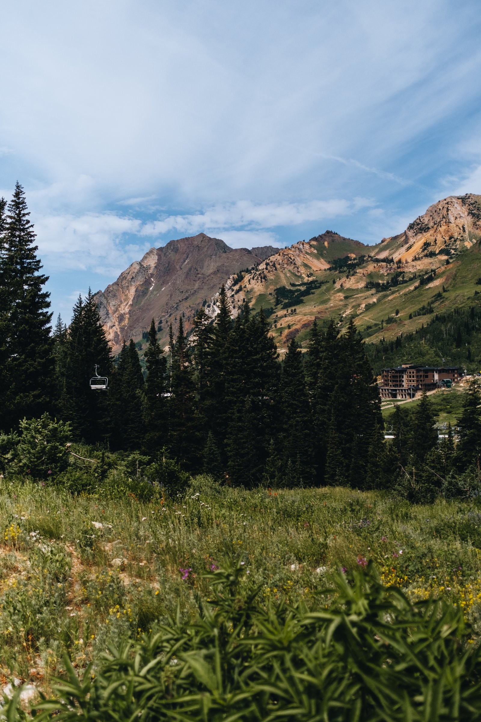
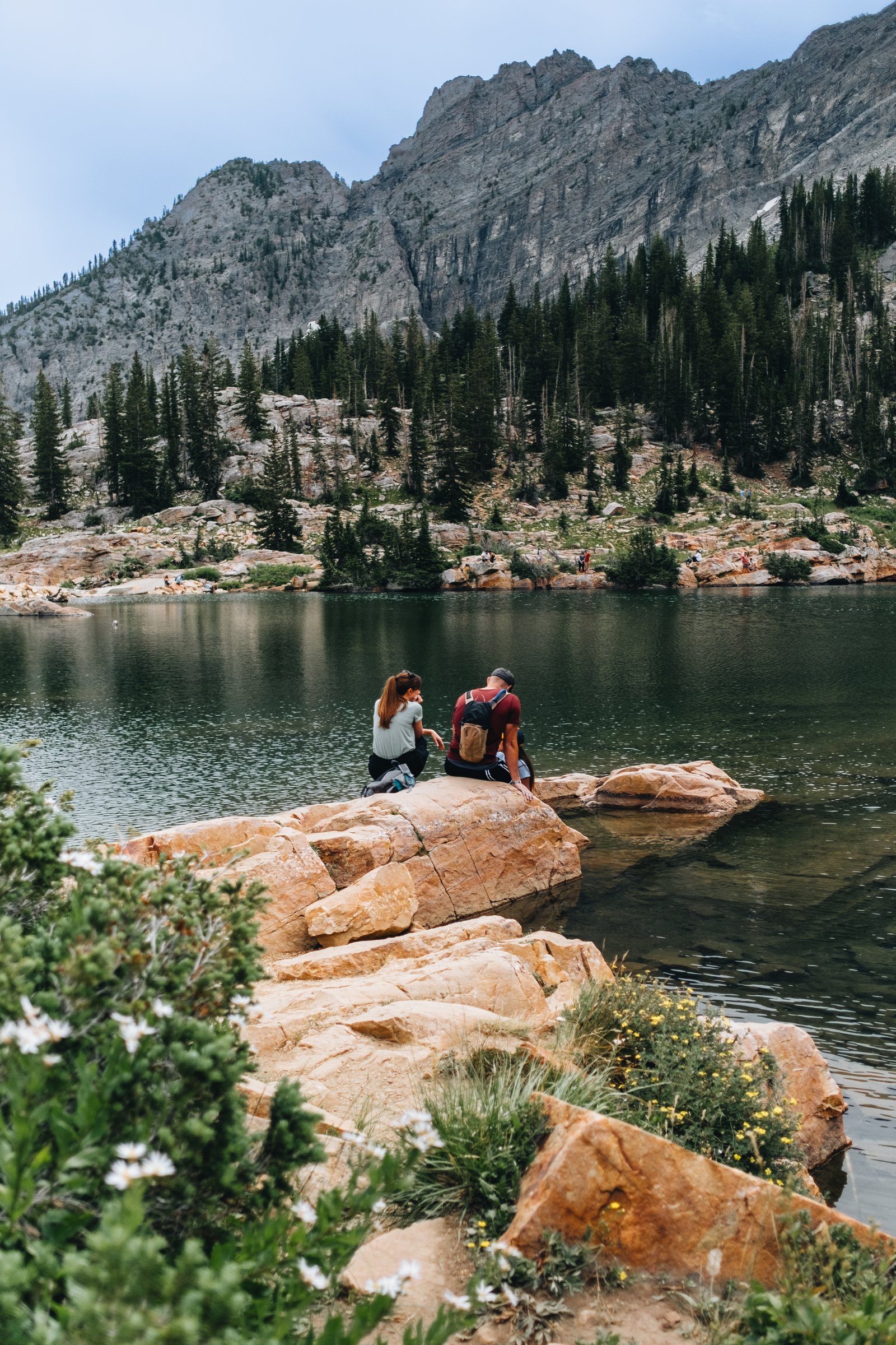
It is Neat B’s birthday this weekend and we are hanging out in Utah. Today, we hiked up to Cecret Lake, which is accessible from the Alta Ski Area in Albion Basin. Alta is a ski-only resort, so hiking is the only way that my kind — snowboarders — gets to see this area. The basin is known for its beautiful wildflowers and it didn’t disappoint. Cecret Lake is also a watershed area for Salt Lake City. So as you hike up, there are signs telling you not to swim in the lake or do things like bath your dog. Because what goes into the watershed will end up in the faucets of Salt Lake City within 24 hours (according to the signs). If you haven’t done this hike, I would highly recommend it. It’s easy/moderate, and a great way to work up an appetite for In-N-Out Burger, which is a real treat for us Torontonians.
Here is another great video from About Here talking about how breaking certain rules could make for better apartment buildings.
The basis for the video is a design competition put on by Urbanarium, called Decoding Density, which asked participants to propose creative solutions for “six-story plus apartment forms in Metro Vancouver.”
More specifically, the competition asked: How might Vancouver intensify its single-family neighborhoods with small-scale wood-frame apartments?
The About Here video covers some of the common themes from the submissions and, not surprisingly, the first is single-stair buildings. Requiring only a single point of egress can really unlock small sites.
Some of the other ideas are, perhaps, a bit more adventurous; but these are valuable exercises. Many rules are dumb. So it’s important that we continually question them and search for better ways.
In my humble and partially biased opinion, two of the greatest places on earth to snowboard are the French Alps and Utah. I say the French Alps because, after 13 years of annual trips, I have yet to find better food and better après parties. And I say Utah because it’s, like, pretty hard to beat the greatest snow on earth.
France was the preferred choice since June. And Utah was the only choice for 2034. To host the Winter Games, you generally need to have at least two things: money and snow. And right now, fewer places want to spend the former on something that may or may not generate an ROI, and fewer places are getting the latter.
Remember this post looking at the impact of climate change on the Winter Olympics?
Because of these challenges, there is talk of the IOC adopting a permanent rotation of Winter Olympic cities. And Utah has been eagerly positioning itself to be one of the places. Biases aside, this feels like an obvious choice. Salt Lake City has some of the best and most accessible snowboarding in the world (SLC is a great airport) and — most importantly — it still snows there.
For those of you who maybe aren’t familiar, La Défense is the largest purpose-built business district in Europe. It houses upwards of 40 million square feet of office space and covers about 1,400 acres. It’s also more or less where Paris decided to allow and put tall buildings. Though, it is about 3 km west of the city limits.
The Paris-CBD, on the other hand, is within the city limits and I’m assuming it refers to the quartier central des affaires (QCA). But regardless of the exact boundary definitions, what we are comparing here is a purpose-built business district to an older supply-constrained central one. And clearly there are, right now, meaningful differences in demand for the offices in these two areas.
What’s also interesting is that there’s a meaningful difference in the rents. According to Reuters, office space in La Défense is on average about 50% cheaper than the QCA. This, to me, is a reminder that monofunctional urban areas tend to be less resilient over time. And that’s why La Défense is actively working to add additional uses, such as more residential.
But it’s not just about uses. The area will also need to contend with the fact that it has a vastly different kind of built form; one that isn’t fine-grained and walkable like the QCA. This matters.